
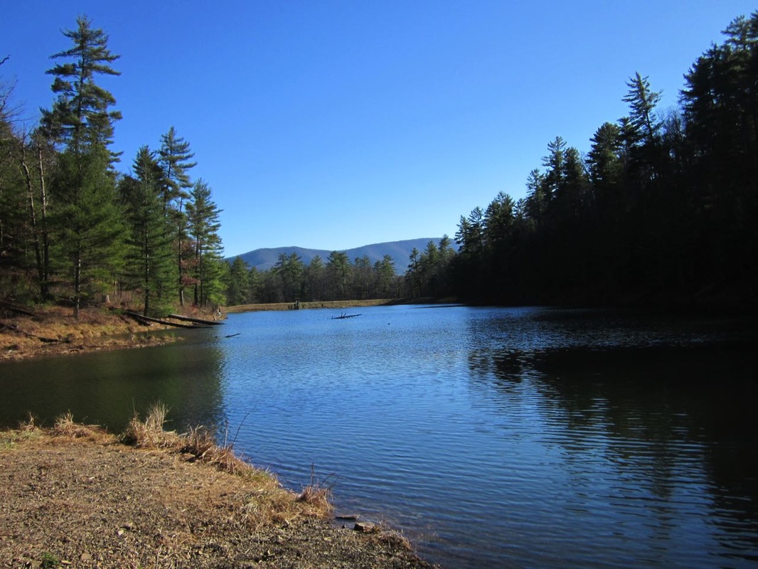
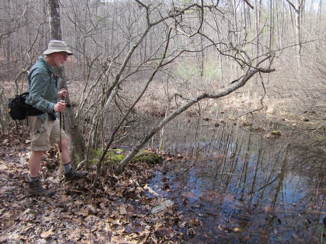
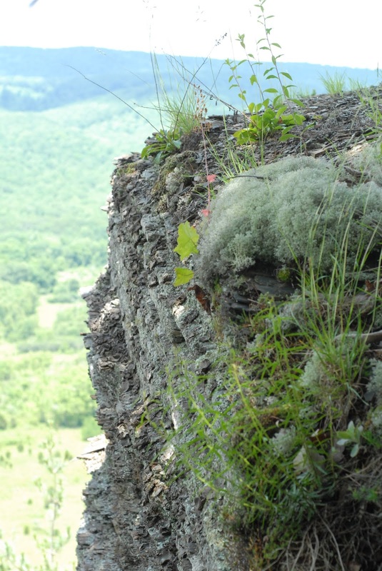
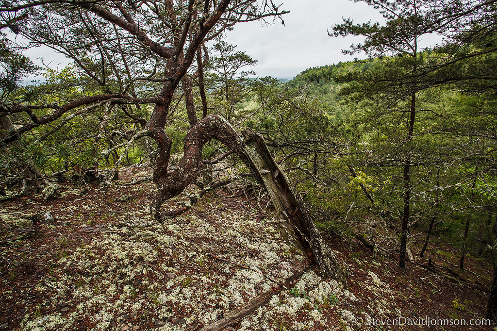
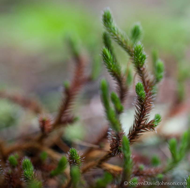
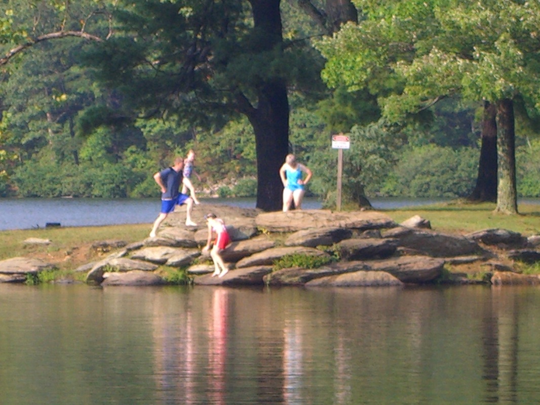
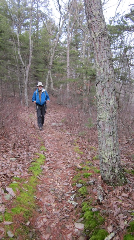
 Braley Pond Recreation Area in the George Washington National Forest - near the proposed ACP route
 New route is bad news!
Dominion announced in February that it will pursue a new alternative route for the Atlantic Coast Pipeline that circumvents Shenandoah Mountain in VA and Cheat Mountain in WV and passes through 14.3 miles of the George Washington National Forest in Highland, Bath, and Augusta Counties, catching landowners along the way completely off guard.
A close look at the new route reveals that it is very problematic. In addition to fragmenting habitat in the national forest, it would negatively affect five Special Biological Areas, an Inventoried Roadless Area, two Concentrated Recreation Areas, a Recreational River Corridor, a Scenic Corridor, a Dispersed Recreation Area, several significant cultural resources. and a long list of trails, including both the Great Eastern Trail and the Appalachian Trail. There is nothing to like about this new route.
Dominion wants to survey in the GWNF
Dominion has requested a special use permit from the George Washington National Forest to survey the new route beginning in spring 2016, and to continue surveying the old route. Surveys would gather information on wetlands, water, soil, sensitive species, and cultural resources. Dominion is asking for a study corridor that is 2000-6,000 ft. wide! The pipeline could potentially be routed anywhere within this wide corridor. The GWNF has issued a scoping notice, asking the public for comments, which are due March 21.
Say NO to a survey!
Tell the Forest Service to deny Dominion's request for a special use permit. There is no point in doing a survey through a route lined with special natural resources, cherished recreations areas and unique cultural resources.
Tell them what we really need is a meaningful "region-wide" NEPA analysis and comparison of all the new pipelines that have been proposed rather than simply bulldozing through the GW.
Send your comments:
| By email: [email protected] Note Atlantic Coast Pipeline Survey Comments in your subject line. Deadline: March 21 | By mail: USDA Forest Service George Washington & Jefferson National Forests Attn: ACP Survey Comments 5162 Valleypointe Parkway Roanoke, VA 24019 |
Supporting documents:
- Dominion's application to survey the new route through the GWNF
- Dominion's detailed route alternative maps
- Scoping notice and request for comments from GWNF Acting Forest Supervisor Joby Timm.
- George Washington National Forest Plan (use this for reference, if needed)
- Dominion Pipeline Monitoring Coalition's Interactive Web Map
New ACP Route - All Bad News! (See maps)
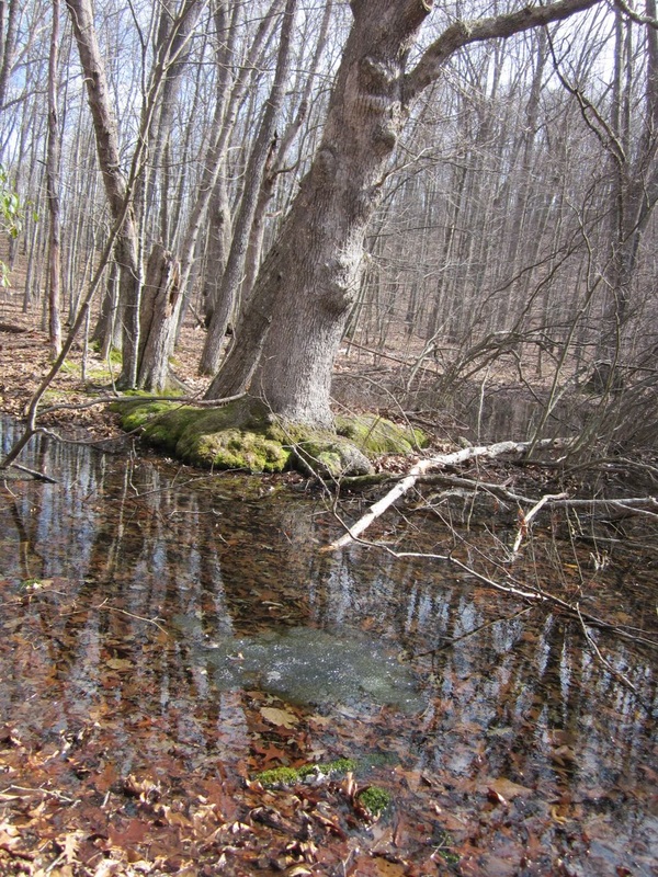
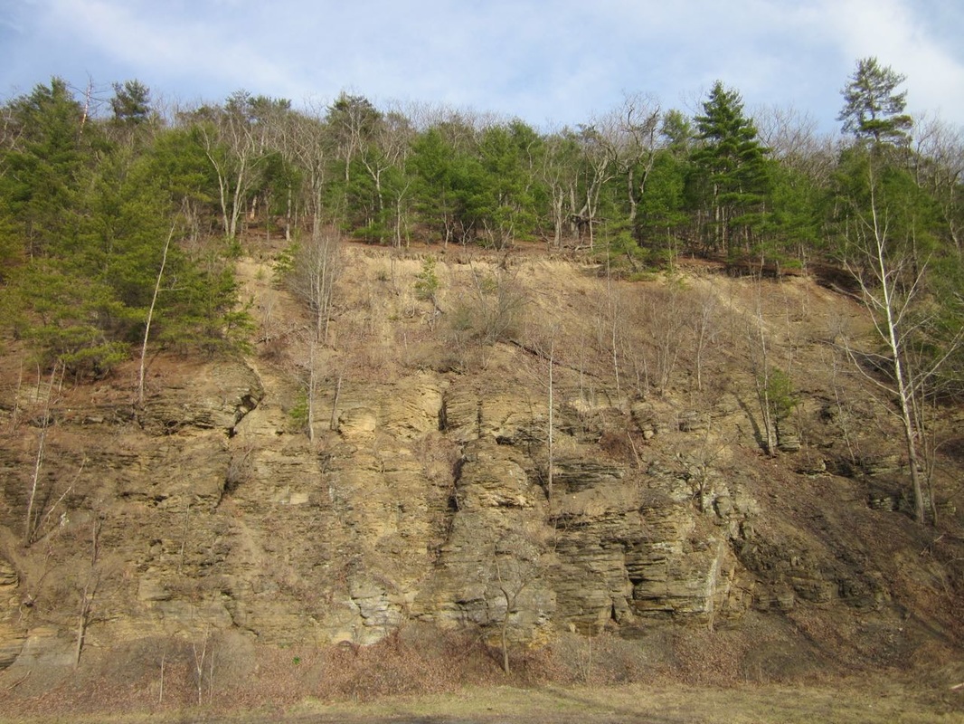
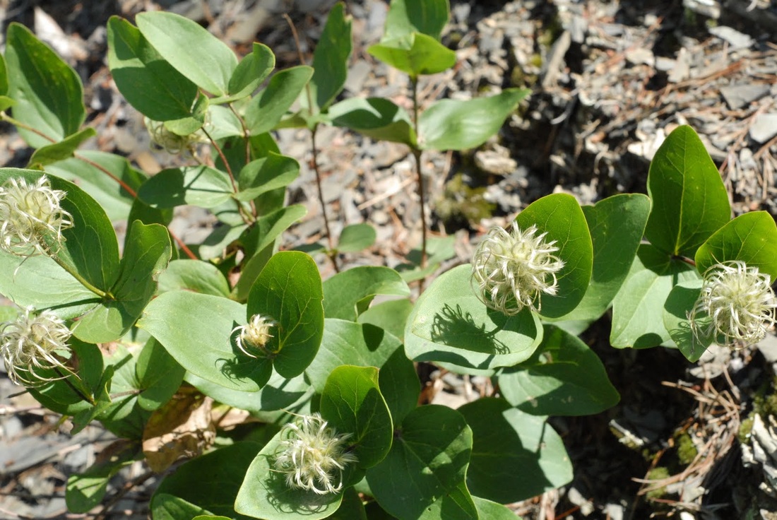
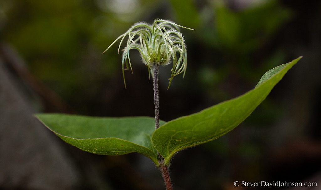
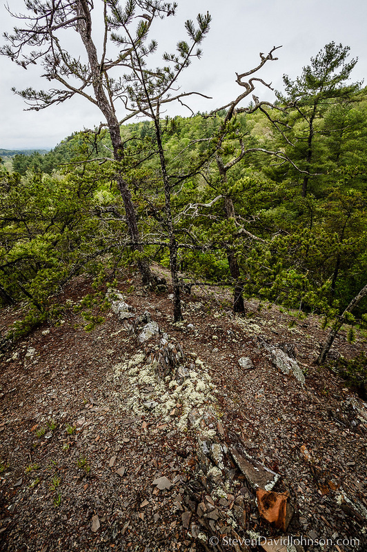
| Special Biological Areas (SBA) The pipeline survey route goes through five Special Biological Areas in the GWNF. These lands serve as core areas for conservation of the most significant and rarer elements of biological diversity in the GW. They provide habitat for plants and animals that occupy a small portion of the landscape, but contribute significantly to biological diversity
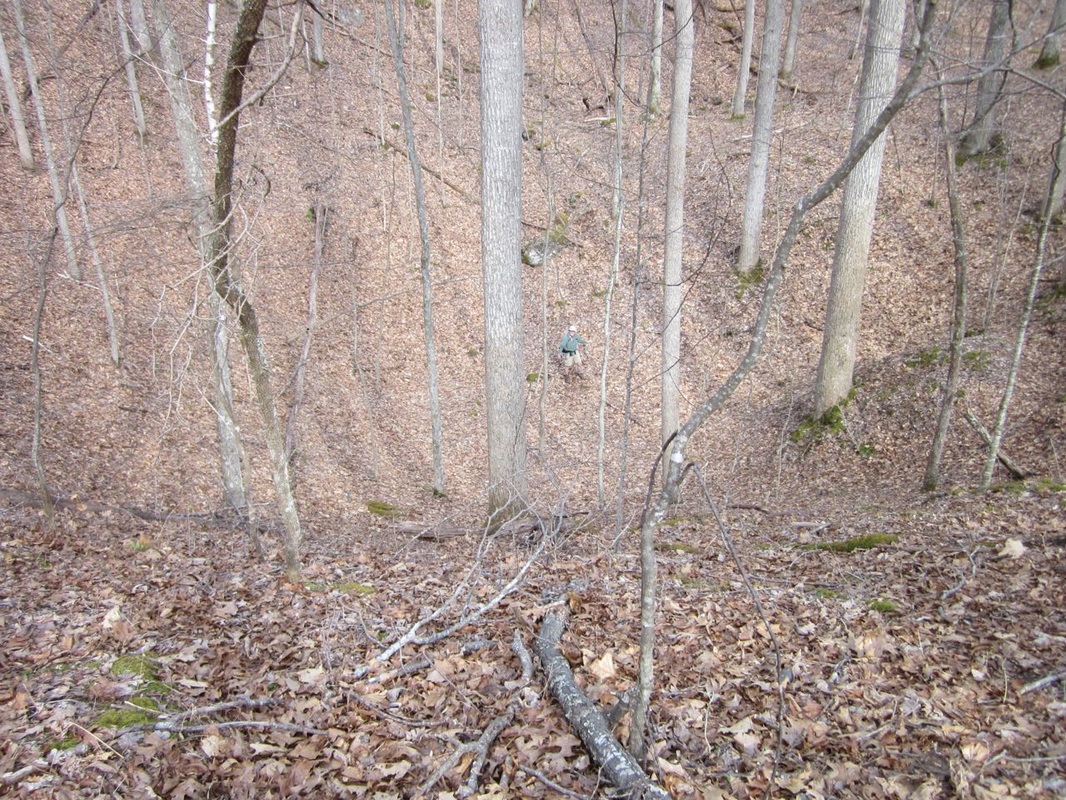
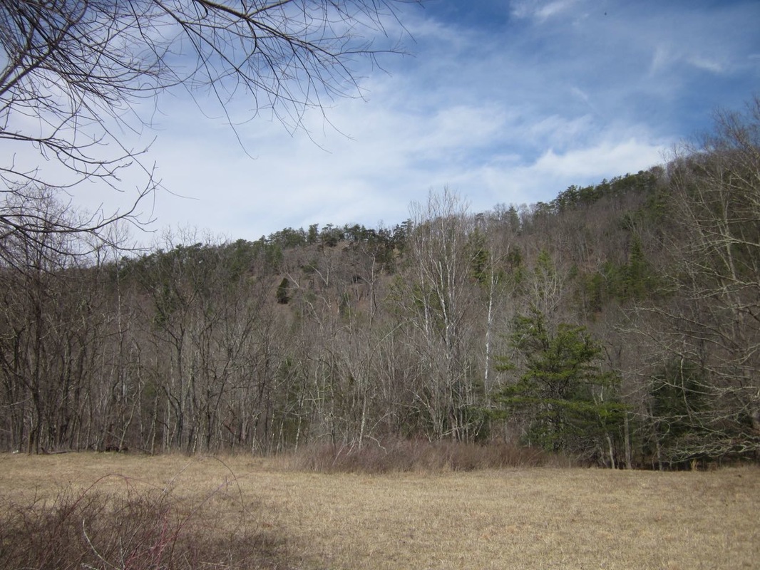
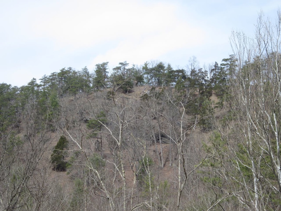
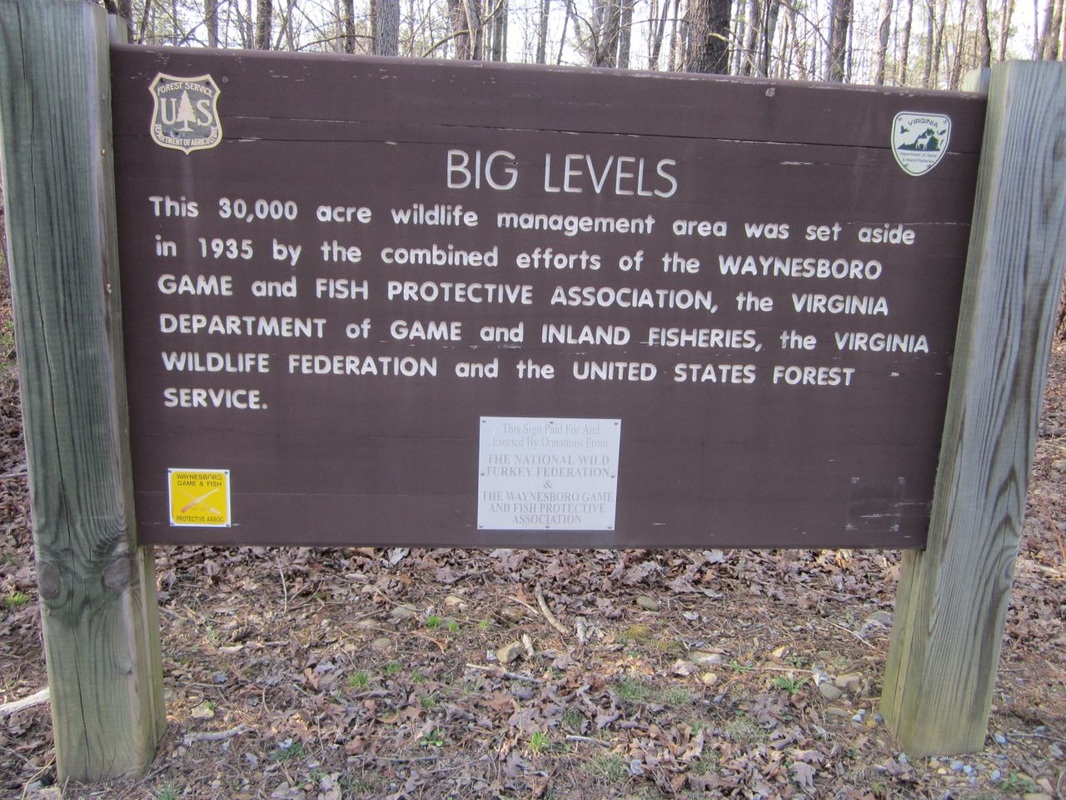
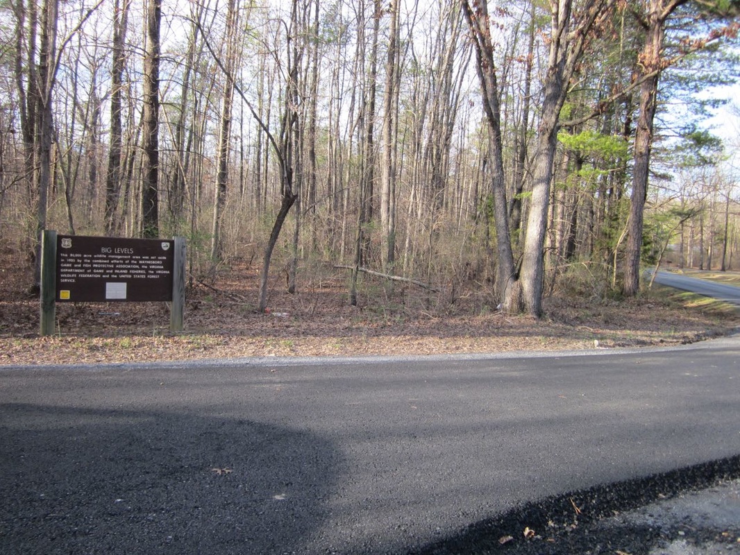
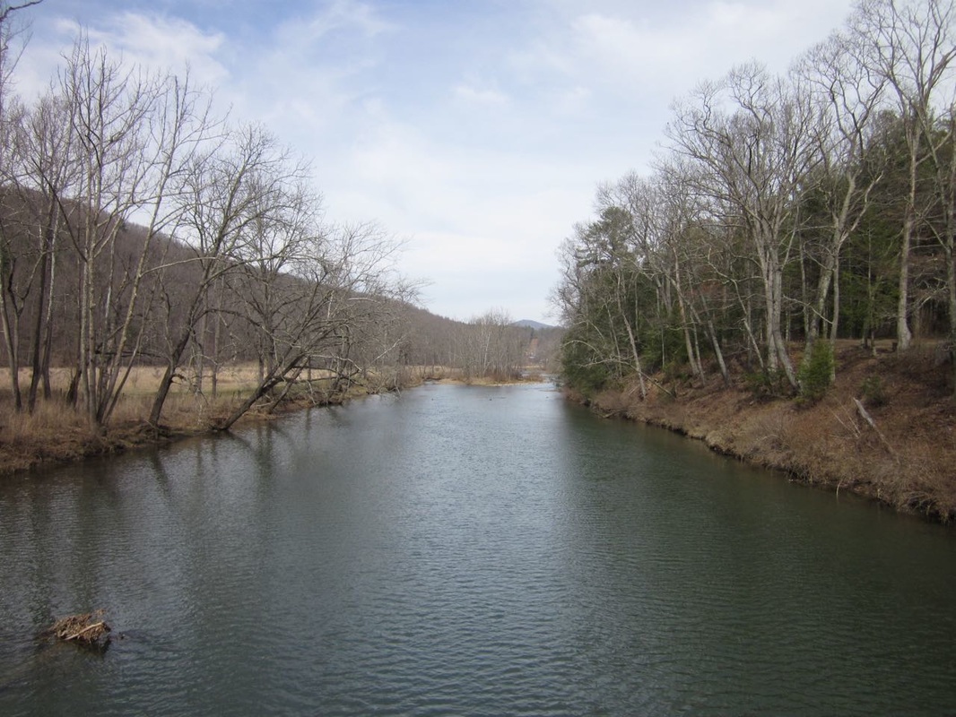
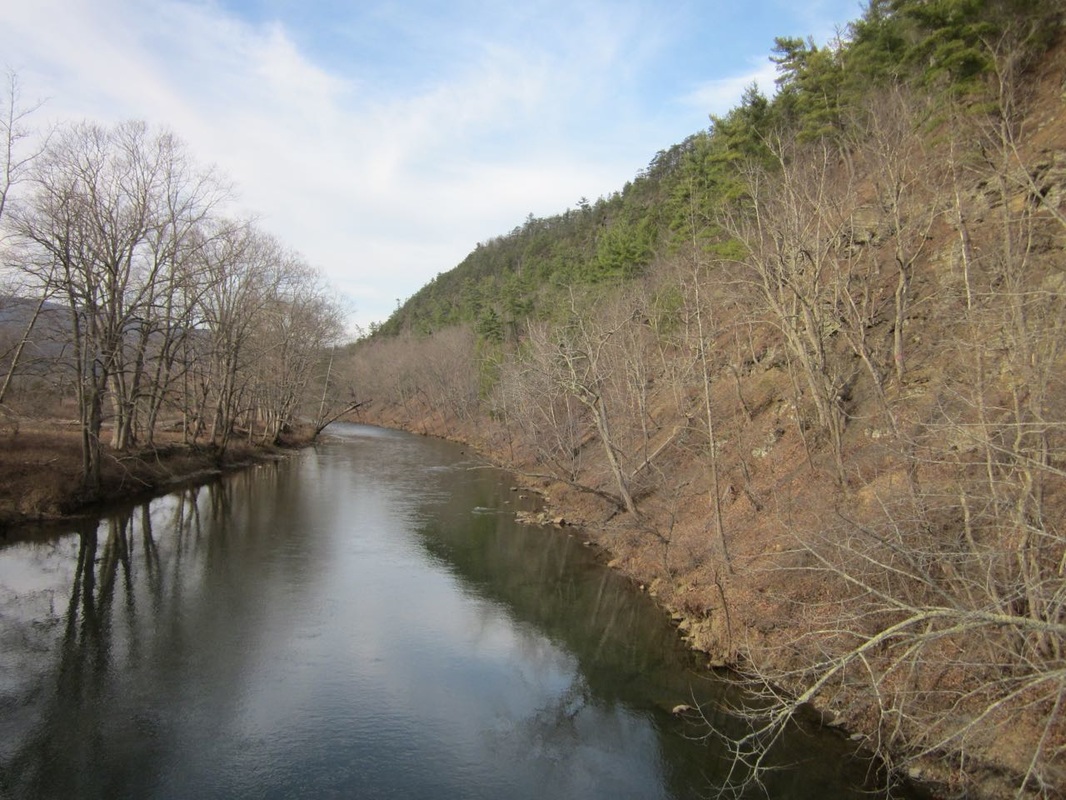
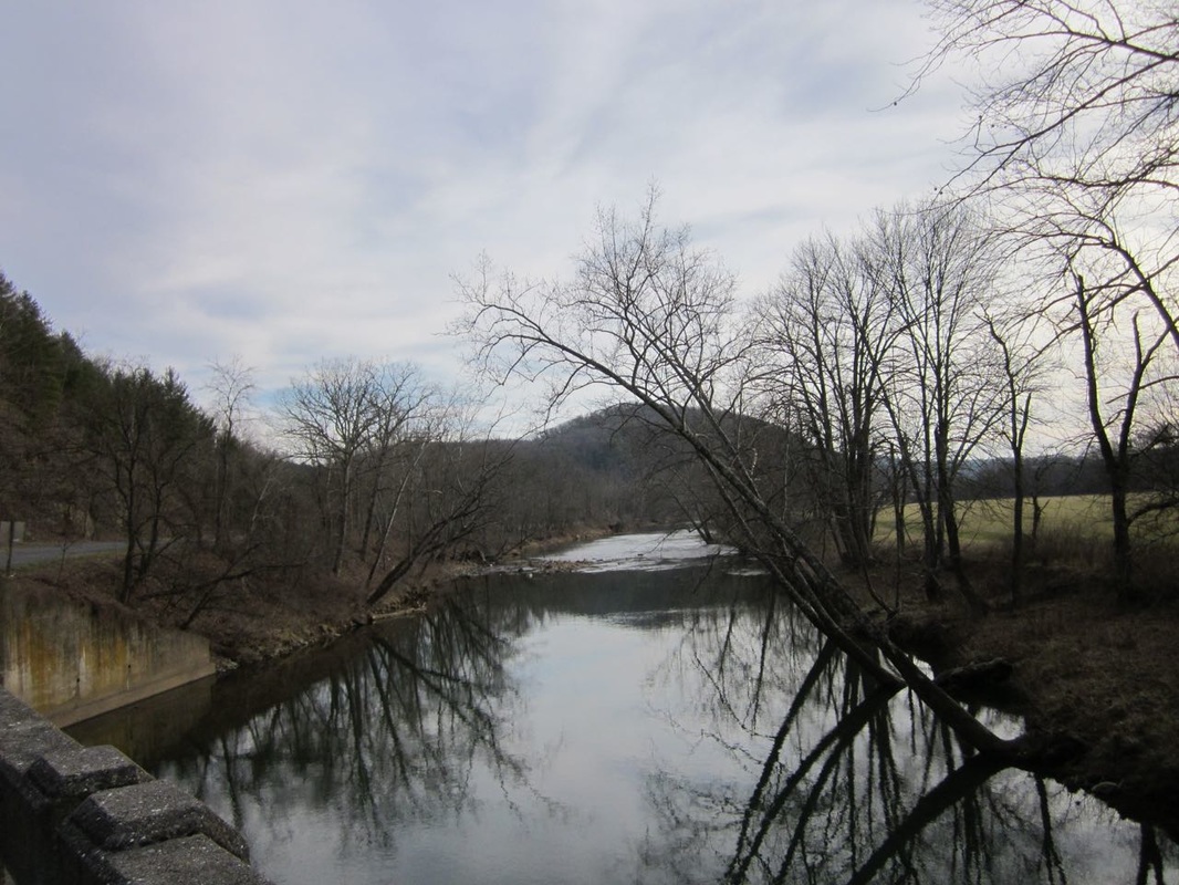
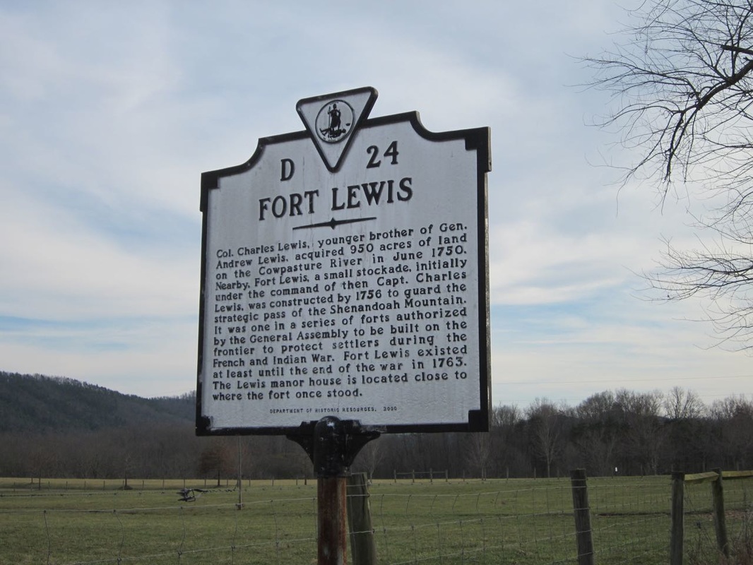
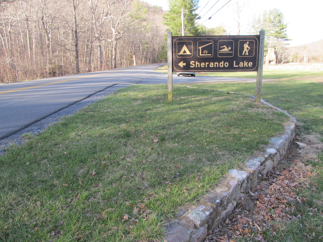
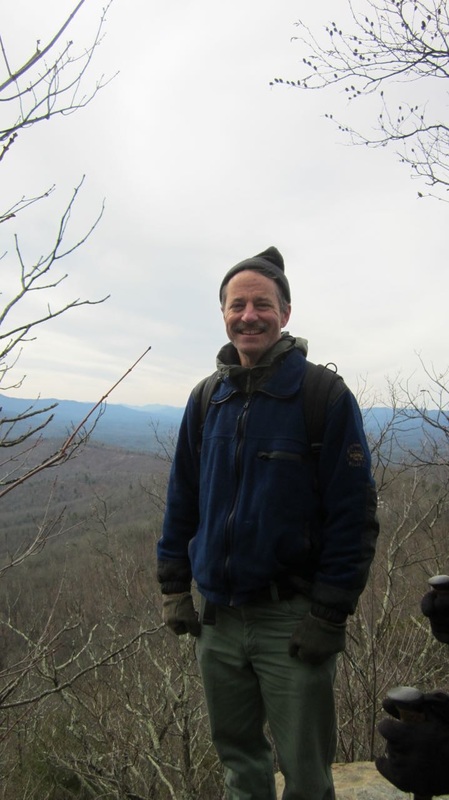
Remote Backcountry The 16,680-acre Jerkemtight Roadless Area on the south end of Shenandoah Mountain is the third largest Inventoried Roadless Area in the GW. A big chunk of Jerkemtight along Scotchtown Draft and Deerfield Rd. is within the survey area. Eligible Recreation River Corridor The GWNF Corridor for the Cowpasture River is at Ratcliff Hill across from Fort Lewis. This is one of the most beautiful sections of the Cowpasture River, with bald eagles, river otters, a wide variety of waterfowl, and mussels. Scenic quality is outstanding with both mountain and pastoral scenery. Scenic Corridor and Viewshed Rt. 250 is a scenic gateway to popular recreation areas, including Braley Pond, North River Campground, Camp Todd, Staunton Dam and Elkhorn Lake, and Hankey Mountain. The forest plan calls for management activities that maintain the natural characteristics that make the area scenic and states that "these areas are unsuitable for designation of new utility corridors, utility rights-of-way, or communication sites". Recreation Areas The pipeline route passes close by both Braley Pond Day Use Area and Sherando Recreation Area, two of the most popular in the GWNF. Trails The pipeline will negatively affect many trails in the GWNF: Great Eastern Trail The pipeline would cross the GET in two places. Shenandoah Mountain South Trail Crosses just north of 678, near the Cowpasture and Ratcliff Hill. Braley Pond trails Access could be restricted or cut off and certainly permanently impaired.
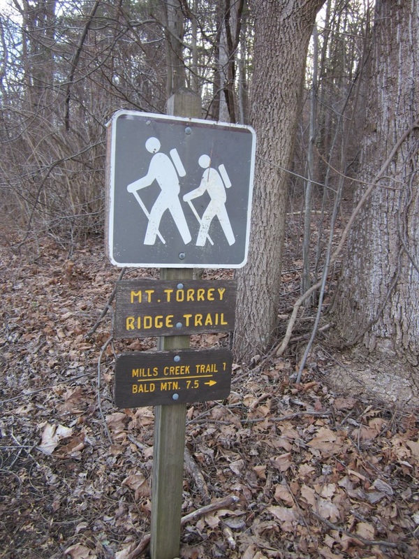
Dowells Draft Trail Pipeline follows Dowells Draft Trail and the Dowells Draft Rd, which is popular for hiking, biking, and hunting. White Oak Draft Trail The pipeline would cut across this trail approx. 3000 ft north of Rt. 250 Appalachian Trail Although the pipeline would tunnel under the AT, the entry and exit points will be visible from popular vantage points, like Humpback Rocks. Mt. Torry Ridge Trail and Mills Creek Trails The trailhead for both is at Mt. Torry Furnace, within the pipeline survey boundary All three of the following are within the pipeline survey boundary: Back Draft Trail (546)– starts off of SR 641 and goes over Walker Mountain Short Ridge Trail (717)– starts off west side of SR 629 and goes to FR 399 on Shenandoah Mountain Brushy Ridge Trail (718) – comes off east side of SR 629, just west of Walker Mountain by Fowler Spring Visiblility from many more trails The pipeline corridor will be permanently visible from trails in Ramseys Draft Wilderness, Hankey Mountain, Elliott Knob, Crawford Mountain, Jerkemtight, Signal Corps Knob area, Big Levels, Sherando, Humpback Rocks, Three Ridges Wilderness, and many other locations in the GWNF. Cultural resources The route passes through several important cultural resources. Mt. Torry Furnace This historic iron furnace near Sherando is on the National Register of Historic Places. It is within the pipeline survey area. | Brown's Pond Montane Depression WetlandRatcliff Hill Shale BarrenBig Cedar Shale BarrenReuben's Draft Shale BarrenBig Levels Montane Depression WetlandsCowpasture River CorridorRecreation Areas - Sherando and Braley PondTrailsMt. Torry Furnace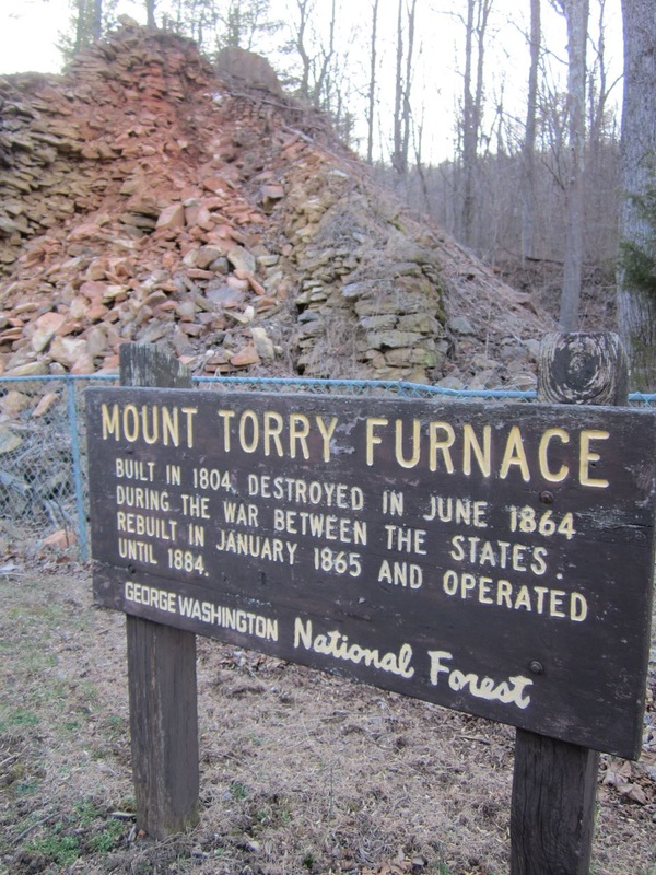 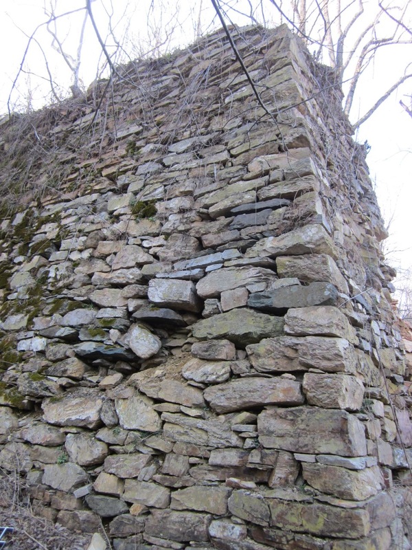 |


 RSS Feed