Wilson Mountain
Approximate size: 5,475 acres
Potential Old-growth: Nearly 250 acres of possible old growth.
Location: Glenwood Ranger District
Potential Old-growth: Nearly 250 acres of possible old growth.
Location: Glenwood Ranger District
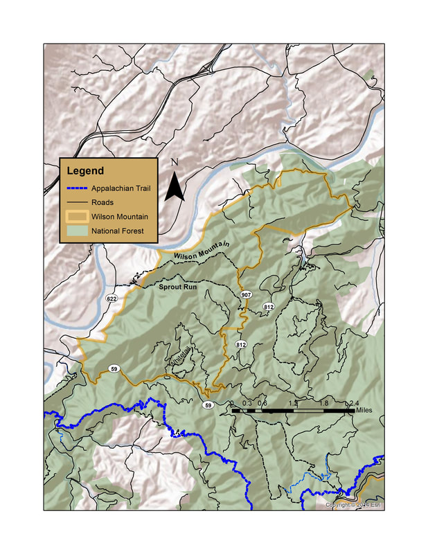
The Wilson Mountain Virginia Mountain Treasure is located on the western slope of the Blue Ridge Mountains in Rockbridge and Botetourt Counties. The most notable feature of the area is the Sprouts Run National Scenic Trail.
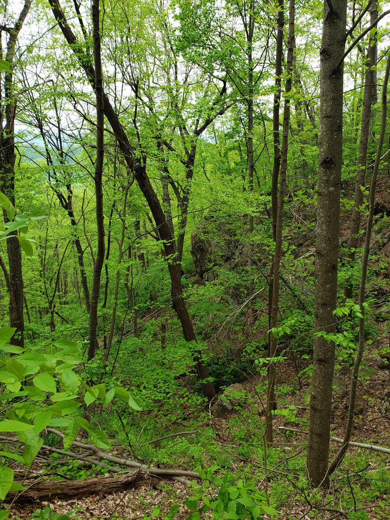
The six-mile long, scenic Wilson Mountain is made up of series of quartzite and metasiltstone ridges facing the James River which are visible from the river and the Virginia’s Great Valley. Pine Ridge, Wilson Mountain, and Skillern Mountain are the most prominent of these ridges.
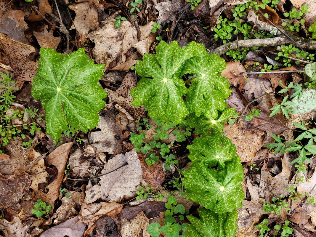
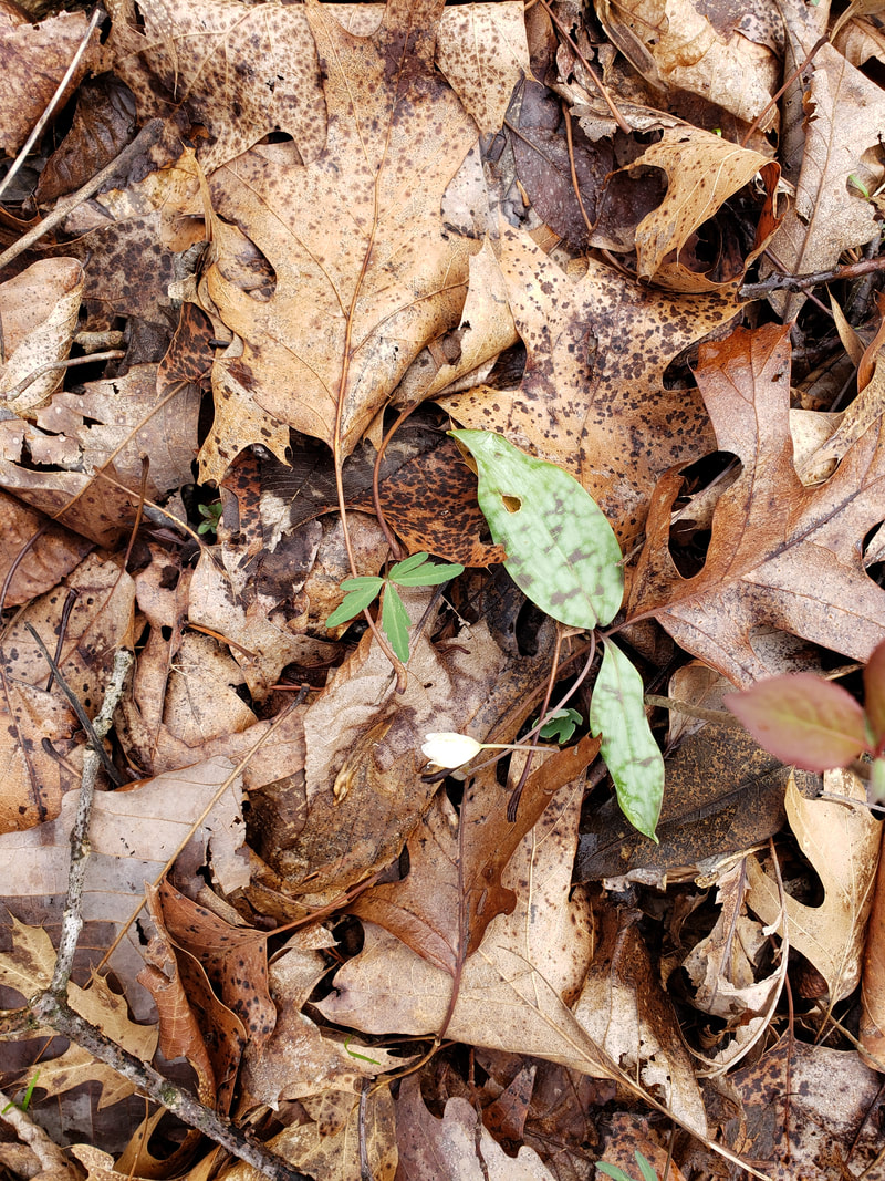
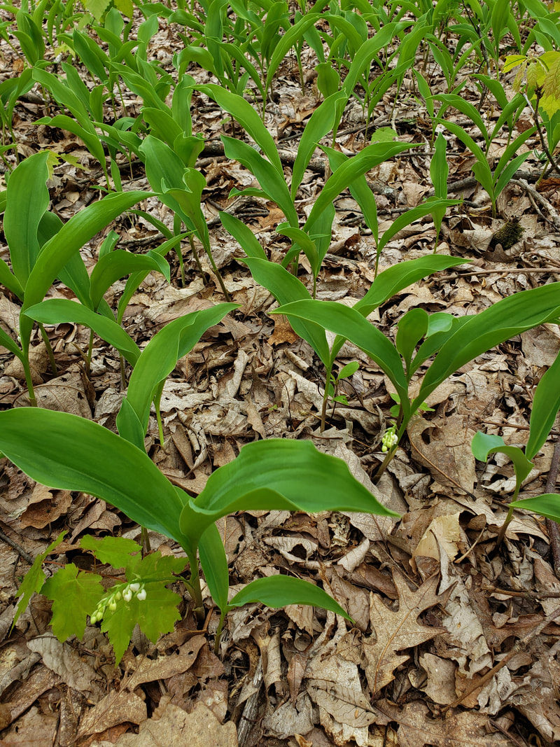
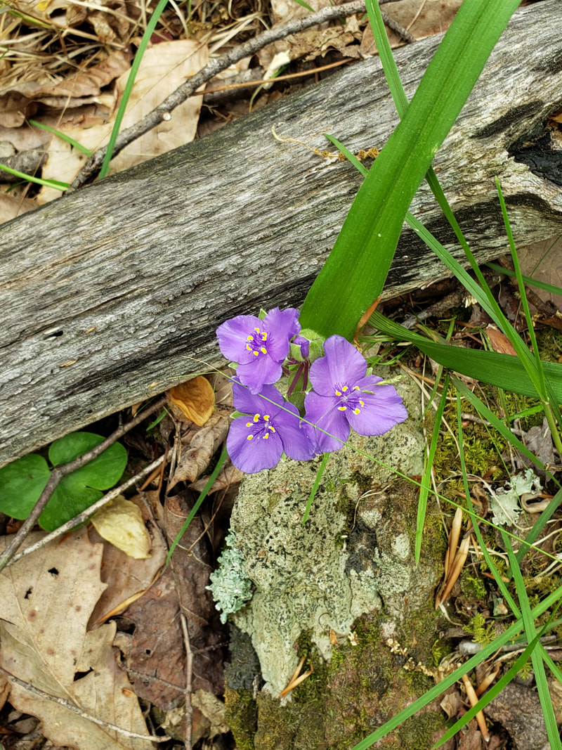
Among the unique features of the area are stream systems with shale barrens and unusual plants such as Virginia white-haired leatherflower (Clematis coactilis), Virginia false-gromwell (Onosomodium virginianum), and crested coral root (Hexalectris spicata). On the northwestern edge of Wilson Mountain is a small wetland, which is home to water thrushes and other water-loving birds. The area contains approximately 250 acres of possible old growth including White pine, Chestnut oak, White oak northern red oak, and Yellow poplar.
Sprouts Run is the only major stream in this Virginia Mountain Treasure. It is known for its rocky pools and stair step cascades and passes under a canopy of White pine and Beech. The only waterways are Gilmore Hollow and Colon Hollow.
The Wilson Mountain Trail and the Sprouts Run National Scenic Trail form a loop approximately seven miles long. The White Tail Trail is an easy 2.1-mile loop from the popular North Creek Campground.
The six-mile long, scenic Wilson Mountain is made up of series of quartzite and metasiltstone ridges facing the James River which are visible from the river and the Virginia’s Great Valley. Pine Ridge, Wilson Mountain, and Skillern Mountain are the most prominent of these ridges.
Among the unique features of the area are stream systems with shale barrens and unusual plants such as Virginia white-haired leatherflower (Clematis coactilis), Virginia false-gromwell (Onosomodium virginianum), and crested coral root (Hexalectris spicata). On the northwestern edge of Wilson Mountain is a small wetland, which is home to water thrushes and other water-loving birds. The area contains approximately 250 acres of possible old growth including White pine, Chestnut oak, White oak northern red oak, and Yellow poplar.
Sprouts Run is the only major stream in this Virginia Mountain Treasure. It is known for its rocky pools and stair step cascades and passes under a canopy of White pine and Beech. The only waterways are Gilmore Hollow and Colon Hollow.
The Wilson Mountain Trail and the Sprouts Run National Scenic Trail form a loop approximately seven miles long. The White Tail Trail is an easy 2.1-mile loop from the popular North Creek Campground.
Access: Access to the Wilson Mountain area is gained form several locations.
The Sprout Run Loop can be accessed at:
County Road 622 in Botetourt County.
79°36'13.05"W 37°34'2.602"N
County Road 812 on the Botetourt and Rockbridge County Line. 79°33'24.581"W 37°33'41.763"N
FR 907 in Rockbridge County.
79°33'35.275"W 37°34'21.502"N
The White Tail Trail can be accessed at:
FR 59 in Botetourt County.
79°34'52.743"W 37°32'28.622"N