
The Priest Wilderness
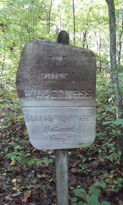
The Priest Wilderness is located in Amherst County. This 5,994 acre Wilderness was established in 2000. The Priest is located in a region of the Blue Ridge some call the Religious Range. Extending south from the Priest is The Little Priest, The Friar, The Little Friar, and The Cardinal. The Priest and The Little Priest are in the Wilderness boundary.
The Priest protects the headwaters of two significant rivers in Virginia. To the south there are three small tributaries of the Piney River. One is locally known as Shoe Creek. This river is a major tributary of the Tye River, which in turns flows into the James. Coxes Creek, Cripple Creek, Silver Creek, and Rocky Run are all tributaries of Tye River and have their beginning in the Priest Wilderness. Due to the rugged and remote terrain of The Priest, each of all of these streams are designated as cold water streams capable of supporting native Brook trout by the Virginia Department of Game and Inland Fisheries.
The Priest (4,063 feet) is one of the highest peaks on the Pedlar District of the George Washington National Forest. This and Three Ridges Wilderness soars above the Piedmont to the east. Just to the north of the Priest, Pinnacle Ridge forms the western boundary. This ridge connects to The Priest. The Little Priest dominates the southern half of the Wilderness. While slightly lower than its namesake, this peak (3,725 feet) is still impressive.

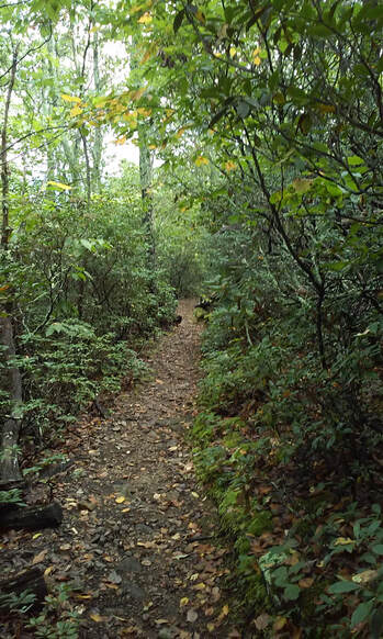
The forest type is mainly Eastern Deciduous. Chestnut and Scarlet oak dominate the dryer, rocky sites. The sheltered coves contain species such as Yellow poplar, Basswood, and Ash. Mountain Laurel and Rhododendron thrive in thickets in the understory.
The Appalachian Trail (AT) is the only trail through this Wilderness. Approximately 5.4 miles of the AT are in The Priest Wilderness. The AT and The Priest have one claim that no other mountain or trail can surpass in Virginia. Starting from the Tye River Gap, the AT climbs 3,066 feet to the summit of the Priest. This is the only trail in Virginia that ascends more than three thousand feet. The Priest Shelter is located within the Wilderness. The Priest Wilderness trails are maintained through the hard work and dedication of volunteers with the Natural Bridge Appalachian Trail Club (NBATC) and the Southern Appalachian Wilderness Stewards (SAWS). If you would like to get involved with trail maintenance in The Priest Wilderness, contact NBATC. |
|
| Printable Map of The Priest Wilderness |