
St. Mary's Wilderness
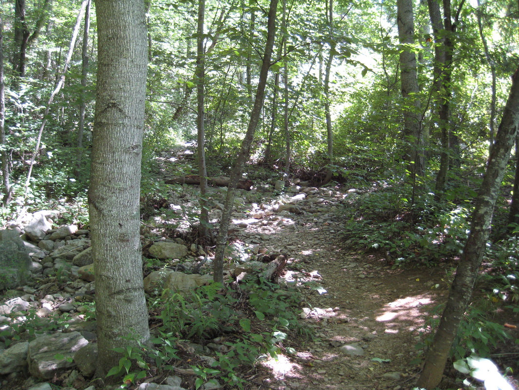
The Saint Marys Trail is open to the public. However, due to the crowds that have been using the trail, the Forest Service would like to take some pressure off the trailhead. An alternate route is the Mine Bank Trail.
To get to the Mine Bank Trail, head to milepost 23 near the Fork Mountain Overlook on the Blue Ridge Parkway. There is a small parking area on the west side of the Parkway. Follow the Mine Bank Trail to the St. Marys Trail and turn left. There is some camping throughout this area. At the junction with the Falls Trail turn right and cross the creek. The falls is about 0.6 miles. The total out and back is just over 9 miles and it makes for a good overnight backpack.
Also, as always group size is limited to ten in any Wilderness area and there is no camping with 500 feet of the stream and there is no camping at the falls. A violation can result in a ticket.
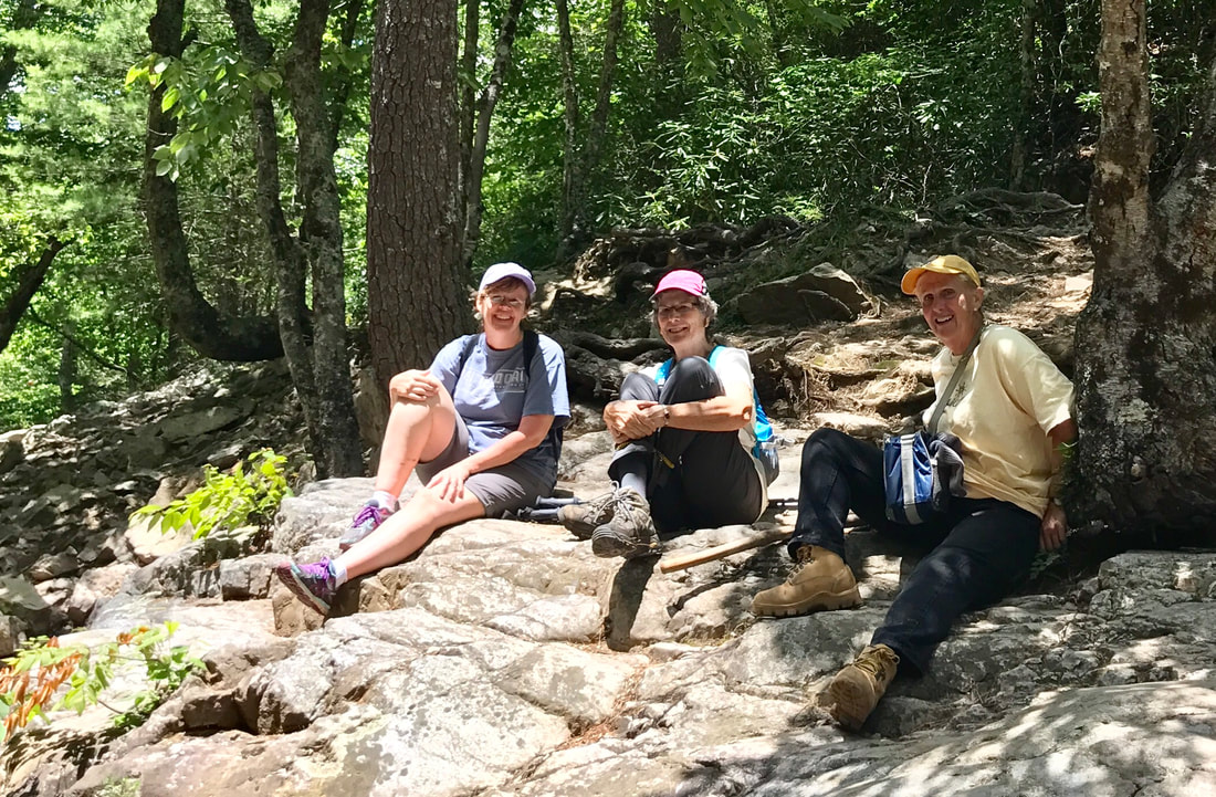 Hikers by Virginia Barber
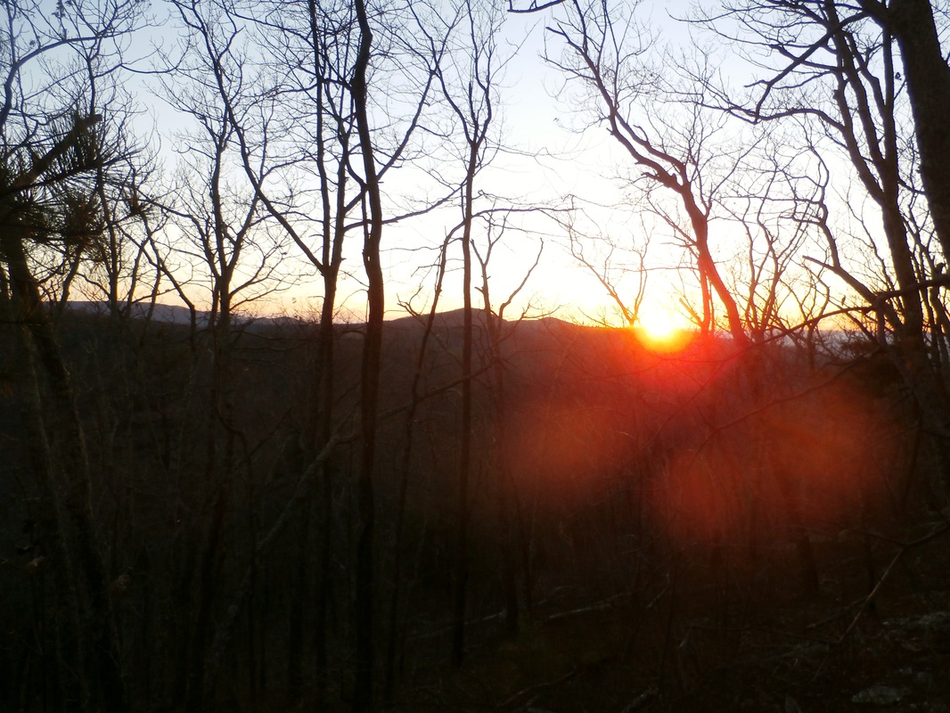
Many people choose to walk the Saint Mary’s Wilderness simply because it is permanently protected. However, the Wilderness designation alone does not account for the areas popularity. The answer is much more basic—water and rocks.
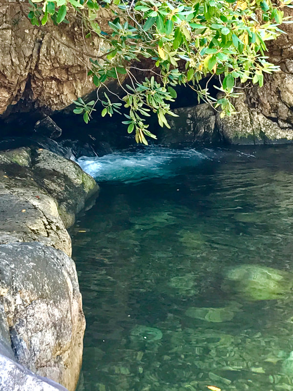
For eons the Saint Mary’s River and Spy Run have been cutting through hard sandstone to create narrow, steep walled gorges that define Saint Mary’s Wilderness. The Saint Mary’s River flows relentlessly through the gorge to its junction with South River. While the water is clear and clean, the rocks and cliffs lining its banks determine the character of the stream. In places the river is calm and quiet. However, the hard stone that underlies the river creates beautiful cascades. The Saint Mary’s Fall, with its fifteen foot drop and deep plunge pool, is one example.
For eons the Saint Mary’s River and Spy Run have been cutting through hard sandstone to create narrow, steep walled gorges that define Saint Mary’s Wilderness. The Saint Mary’s River flows relentlessly through the gorge to its junction with South River. While the water is clear and clean, the rocks and cliffs lining its banks determine the character of the stream. In places the river is calm and quiet. However, the hard stone that underlies the river creates beautiful cascades. The Saint Mary’s Fall, with its fifteen foot drop and deep plunge pool, is one example.
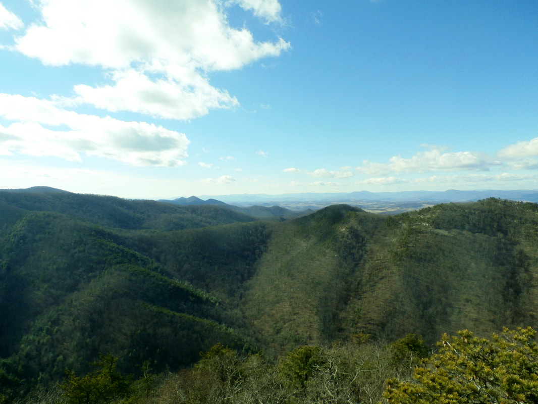 Groahs Ridge
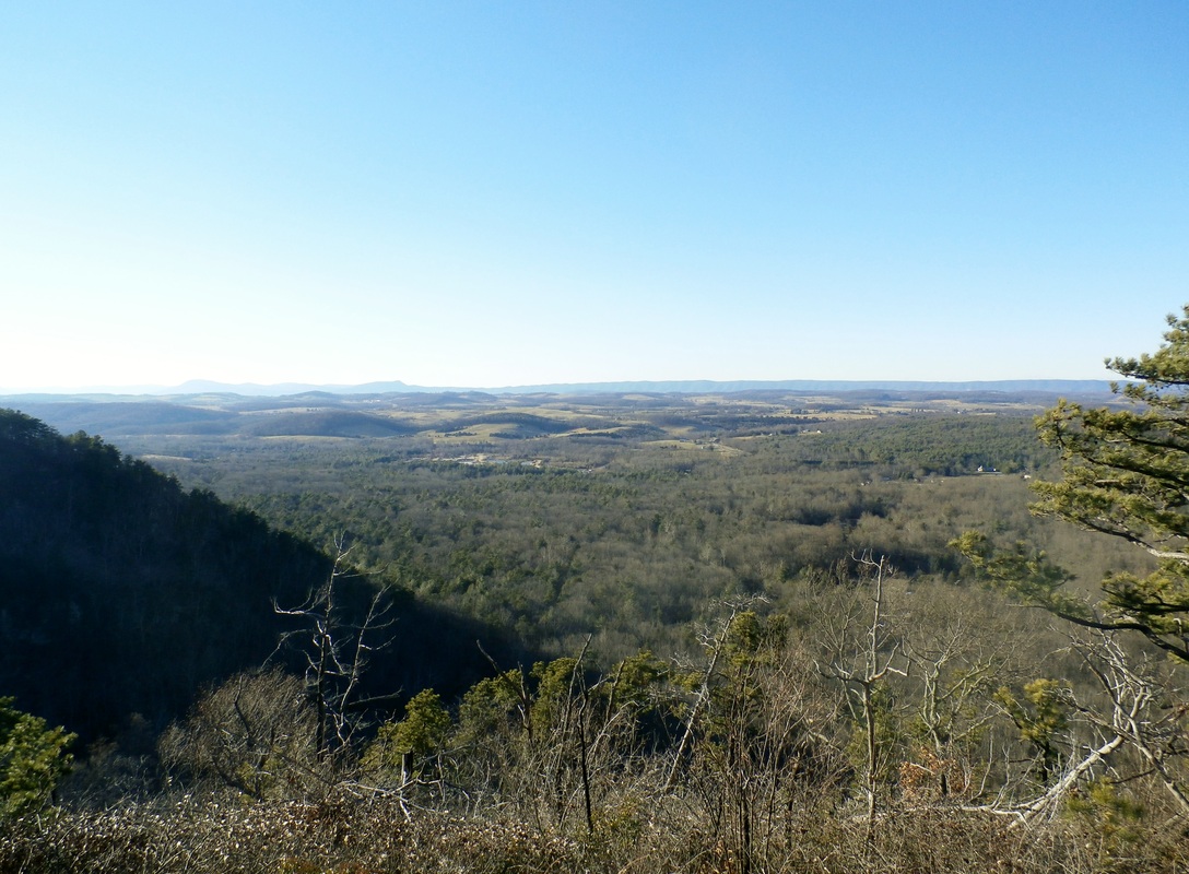
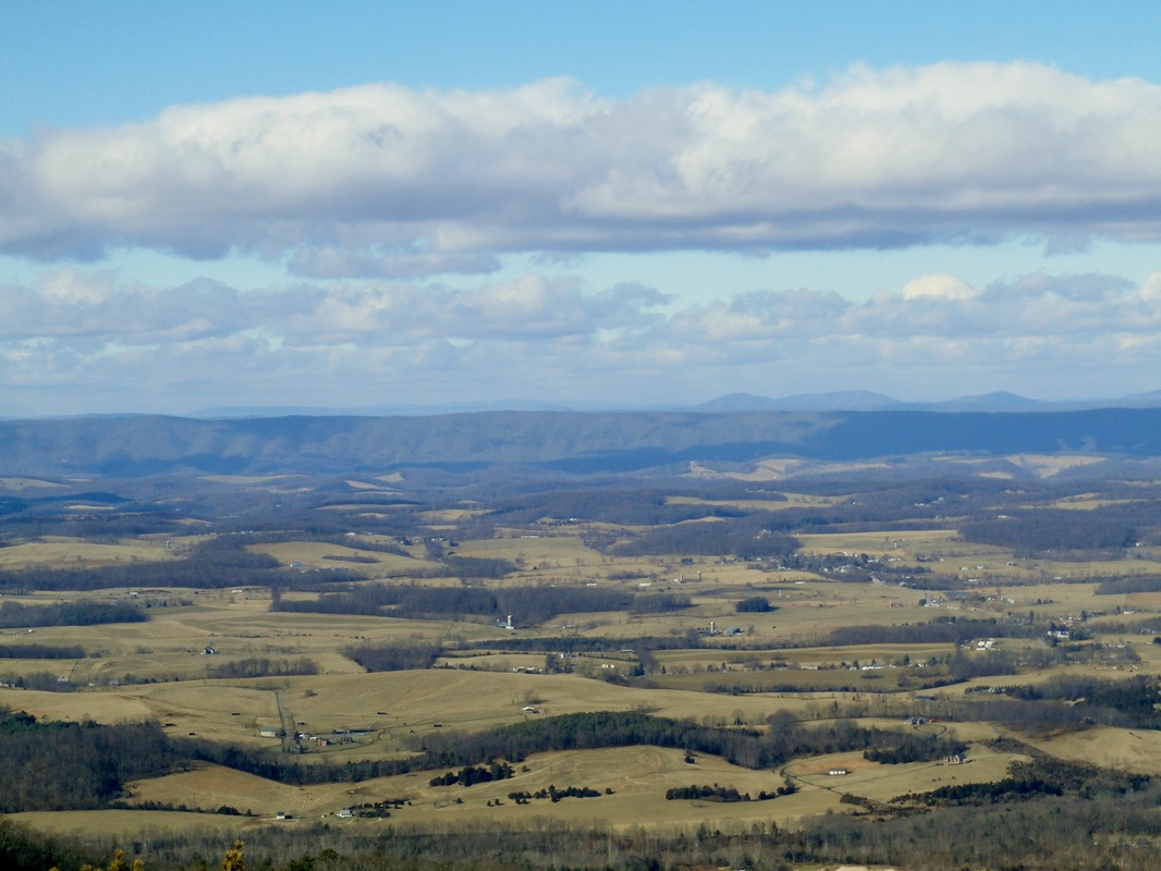
Recently, I had the pleasure of following two long lost and little used trails out to Big Spy Mountain and Little Spy Mountain. The white sandstone supporting these two rugged ridges helps to define the character of Saint Mary’s Wilderness and as an added benefit provides a wonderful long distance view across the valley to the Allegheny Front. Standing on the rock outcrop at the end of Big Spy Mountain, I could look across to the stone covered Groahs Ridge. It was almost possible to imagine the rocks and boulders of the scree slopes flowing 1,200 feet down the steep ridge to join with Big Spy Run. A view of this gorge is well worth the effort.
On the opposite side of the Saint Mary’s River is the almost flat summit of Cellar Mountain (3,645 feet). While the summit is pleasant stroll, getting there involves a trail with numerous switchbacks. A journey to the outlier between Cellar Hollow and Saint Mary’s River is an arduous task, but the view on the high elevation, rock strewn cliffs is breathtaking.
On the opposite side of the Saint Mary’s River is the almost flat summit of Cellar Mountain (3,645 feet). While the summit is pleasant stroll, getting there involves a trail with numerous switchbacks. A journey to the outlier between Cellar Hollow and Saint Mary’s River is an arduous task, but the view on the high elevation, rock strewn cliffs is breathtaking.
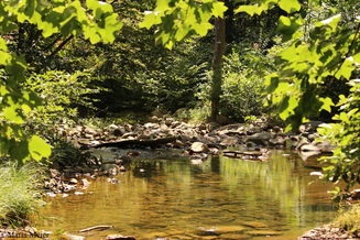 St. Mary's River bathed in green
Farther up the Saint Mary’s gorge is another unique feature of the Wilderness. During the early 1900’s, the area was mined extensively for manganese and iron ore. Miners constructed a flume along Sugartree Branch to move the ore to the main rail line along the river. This mining activity continued into the early 1950’s. Since mining along the Saint Mary’s ceased, the forces of nature have slowly but steadily erased the signs of this past activity. However, the remnants of several old pits, a tailings dump, and the railroad built to haul products out are still visible today.
For up to date information, contact the Glenwood-Pedlar Ranger District Office:
540-291-2188
For up to date information, contact the Glenwood-Pedlar Ranger District Office:
540-291-2188
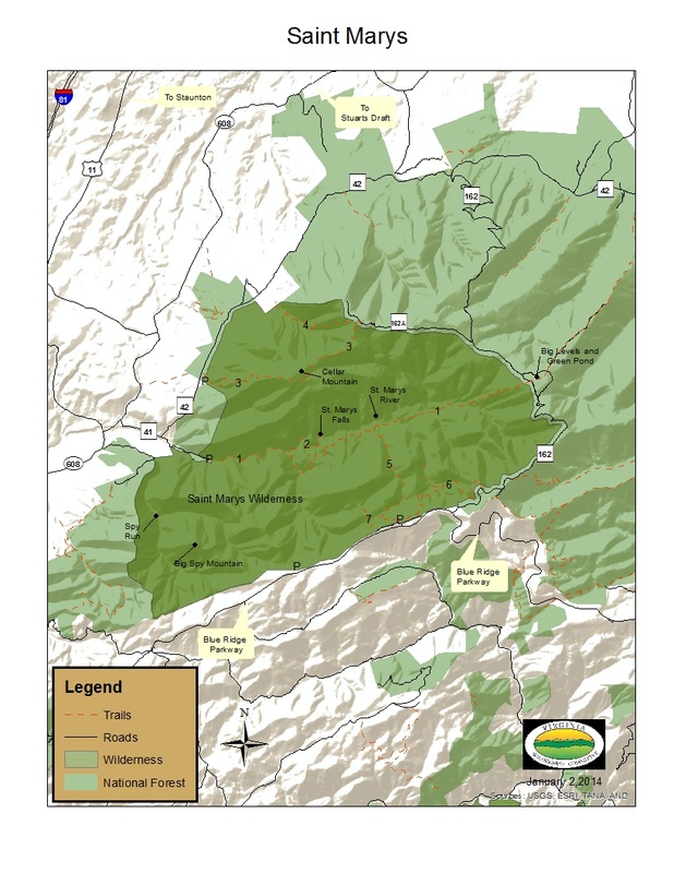 Click on map for larger view
The map of the Saint Mary’s Wilderness has a list of numbered trails. They are as follows:
1) Saint Mary’s Trail, 7.0 miles (one way)
2) Saint Mary’s Falls Trail, 0.5 miles (one way)
3) Cellar Mountain Trail, 2.9 miles (one way)
4) Cold Springs Trail, 1.3 miles (one way
5) Mine Bank Trail, 2.0 miles (one way)
6) Bald Mountain Overlook Trail, 2.5 miles (one way)
7) Mine Bank Mountain Trail, 0.5 miles (one way)
Many of these trails, although one way, can be combined with FDR 162 and 162-A to create loop opportunities.

| Printable Map of St. Mary's Wilderness.pdf |