St. Marys Proposed Wilderness Addition
Approximate Size: West-277 acres, South-1508 acres
Location: Augusta and Rockbridge Counties, Virginia in the Pedlar District
Topos: Big Levels, Vesuvius
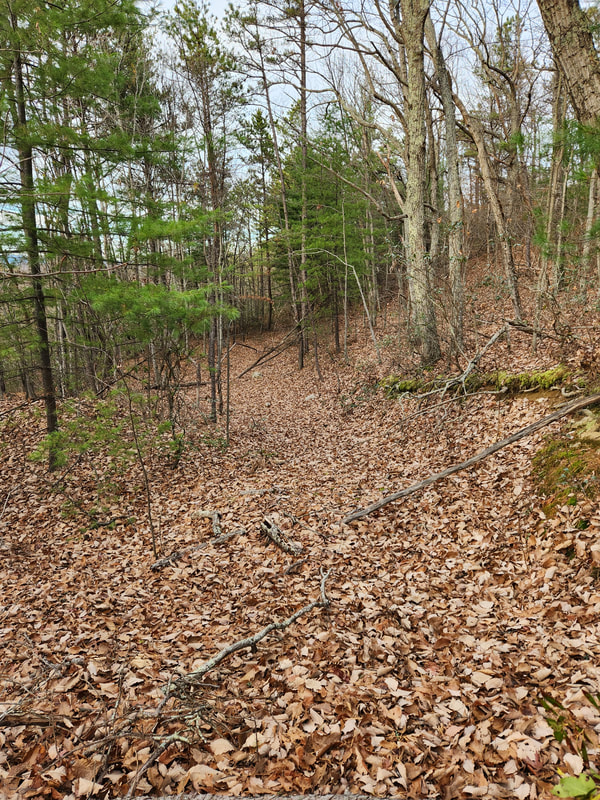
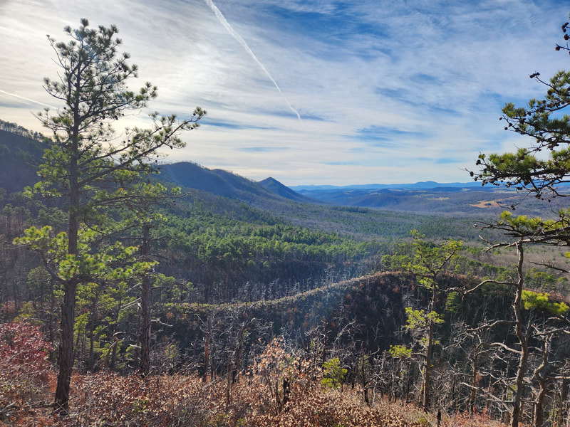
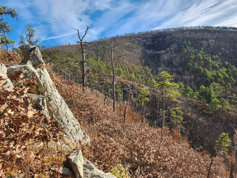
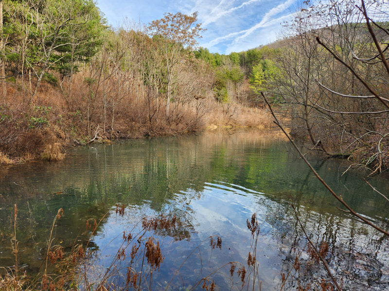
Located on the western flank of the Blue Ridge, the Saint Marys Wilderness is 10,090 acres of rugged slopes, deep ravines, and scree. Saint Marys West is a recent Forest Service acquisition. The dominant geological feature of the area is Cellar Hollow and the small stream that drains the steep and rugged Cellar Mountain. While the area is small the forest is not. Cellar Hollow provides a wonderful refuge for cove hardwoods like Tulip Poplar and Hemlock. Some of these trees are very large.
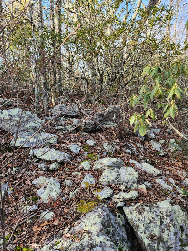
Saint Marys South is located on the southwestern edge of the existing Saint Marys Wilderness. The area is known for its steep V drainages and numerous scree slopes especially in Dogwood Hollow. There is evidence of past human activities including an old homestead site and sites of past mining activities from the early 1900s. One old mine fissure has become a bat hibernacula.

