Spec Mines
Approximate size: 5,095 acres
Potential Old growth: Nearly 3,550 acres of possible old growth can be found throughout the area.
Location: Glenwood Ranger District
Potential Old growth: Nearly 3,550 acres of possible old growth can be found throughout the area.
Location: Glenwood Ranger District
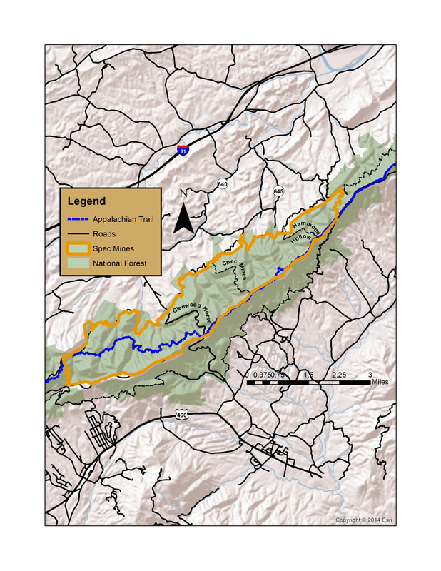
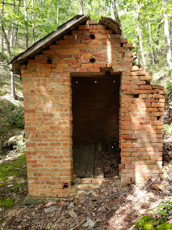
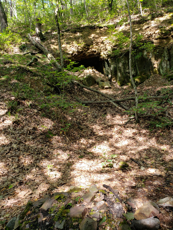
The Spec Mines Virginia Mountain Treasure is located on the western slope of the Blue Ridge Mountains in Botetourt County. The most notable feature of the area is its extensive possible old growth. It is also the location of an iron ore mining site that was open in late 1800s.
The six-mile long, scenic Spec Mines is a series of deeply incised westerly facing ridges visible from Virginia’s Great Valley. Many of these ridges end
on the summit of a high knob, several with unusual names such as Grindstone Knob, Harveys Knob, and Blue Knob.
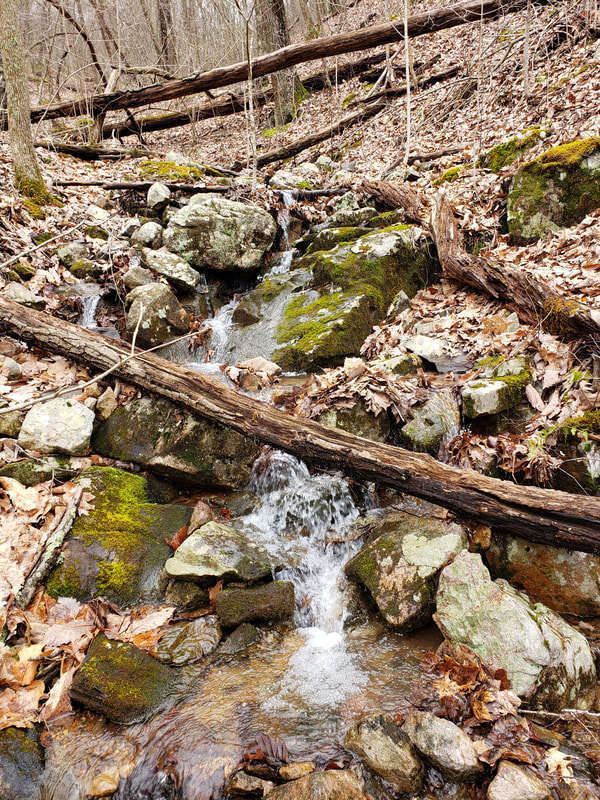
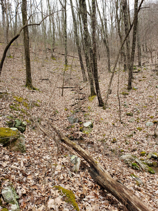
Below these steep ridges and high knobs are the hollows and streams that drain this VMT. They include Hanging Rock Hollow, Chair Rock Hollow, and Iron Mine Hollow. Out of these hollows flow the Curry Creek, Wilson Creek, Spec Mines Branch, and Ellis Creek. Ellis Creek is a designated cold water stream. All of these small creeks are tributaries of Back Creek which flows into the James River.
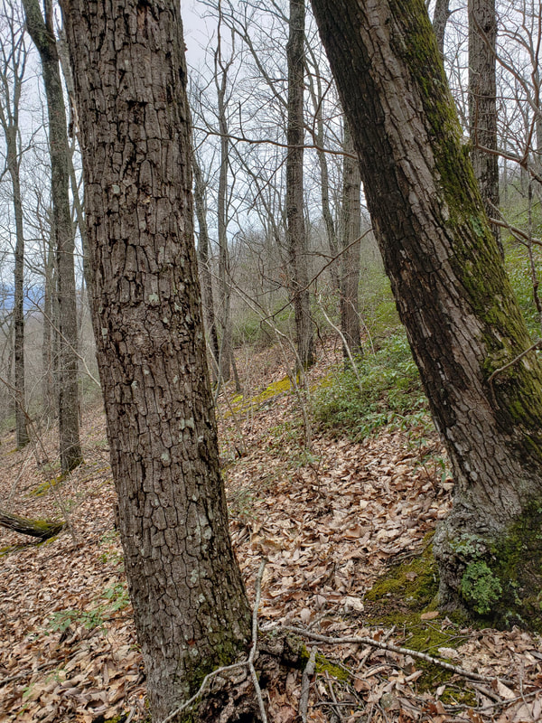
One of the prominent biological features of the area is its possible old growth. The area may contain nearly 3,550 acres of primarily old growth Chestnut oak. There is also one recognized Special Biological Area.
Recreation is another important aspect of Spec Mines. Over ten miles of the Appalachian Trail (AT) passes through Spec Mines or along the boundary on the crest of the Blue Ridge. The Glenwood Horse Trail is another important access point for Spec Mines. In addition, the three-mile Spec Mines Trail and the two-mile Hammond Hollow Trail both climb from the James River Valley to the crest of the Blue Ridge and can be used with both the AT and the Glenwood Horse Trail to make good loops. This area is popular with mountain bikers, equestrians, and hikers.
Access: Access to Spec Mines area is gained form several locations.
The AT can be accessed at several points along the Blue Ridge Parkway from Bobletts Gap to Blackhorse Gap. To get into the heart of Spec Mines go to Blackhorse Gap.79°45'25.942"W 37°25'28.22"N
Glenwood Horse Trail
Bobletts Gap on the Blue Ridge Parkway. 79°41'58.598"W 37°27'57.963"N
Blackhorse Gap on the Blue Ridge Parkway. 79°45'25.942"W 37°25'28.22"N
Hammond Hollow Trail
Upper access on the AT near the Blue Ridge Parkway. 79°42'27.915"W 37°27'35.225"N
Lower access on Glenwood Horse Trail. 79°43'22.57"W 37°27'49.336"N
Spec Mines Trail
Upper access on the Blue Ridge Parkway. 79°44'12.663"W 37°26'23.611"N
Lower access on the Glenwood Horse Trail. 79°45'17.656"W 37°27'3.227"N

