Shenandoah Wilderness in Shenandoah National Park

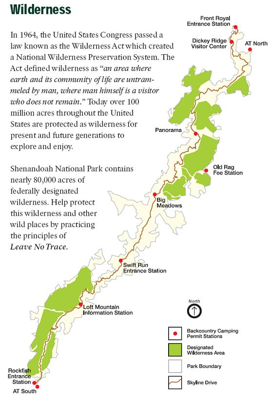
Size: 196, 466 acres of National Park land; 79,579 acres in ten designated Wilderness units
Administration: National Park Service
Elevation range: 700 to 4,014 feet
Shenandoah National Park (SNP) is a stronghold of Wilderness. The park, long and thin, stretches from Front Royal south to Waynesboro along the Blue Ridge escapement. Skyline Drive (105 miles long) bisects the park. Ten Wilderness areas within the park flank Skyline Drive, totaling more than 79,000 acres (40% of the park). These areas cover peaks, valleys, waterfalls, and pastures on mountains that are more than 250 million years old. The park was established in December 1935 by President Herbert Hoover. The Wilderness areas were designated by congress in 1976 in a push led by Ernie Dickerman and the Virginia Wilderness Committee.
SNP is effectively separated into thirds by roads and entrance stations along the way. The north section runs from Front Royal to Thornton Gap, where US 211 crosses Skyline Drive. The middle section is from Thornton Gap to Swift Run Gap and US 33. The southern section follows the park down to Interstate 64 and US 250. There are park entrances at both ends of the park, as well as at the intersections of US 211 and US 33. Wilderness areas are fairly every distributed, with three in the southern section, four in the middle, and three more in the north.
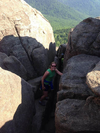
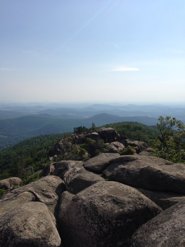
No question, the most popular hiking destination in the park is Old Rag Mountain. Unlike most of the mountains in the Blue Ridge, Old Rag stands alone as a separate peak, rather than as part of a continuous chain connected by ridges. The hike is very popular in all seasons, and can be extremely crowded on weekends. Old Rag's main attractions are the spectacular views from its summit, as well as the challenging scramble over rocks and boulders to reach the top. Consequently, Old Rag Mountain is also Shenandoah's most dangerous hike - as attested by the number of search and rescue missions conducted each year. The trailhead can be reached via the town of Sperryville, which can be reached by leaving Skyline Drive at Thornton Gap, mile 31.5, and turning left onto U.S. 211.
SNP Wilderness Hikes
Old Rag - 9-mile circuit; strenuous difficulty
0.0 Start at the Old Rag parking lot.
0.8 Trailhead (Ridge Trail).
2.3 Top of ridge - out of the trees and into the rocks.
3.8 Summit of Old Rag. Descend at cement post, following the Saddle Trail.
4.2 Byrds Nest Shelter No. 1. Turn right, continuing to follow the Saddle Trail.
5.3 Old Rag Shelter and spring. Continue on the Saddle Trail/fire road.
5.7 Double junction. Turn right onto the Weakley Hollow Fire Road at the cement post marked "Old Rag Parking".
6.7 Cement post. Stay right onto the Weakley Hollow Fire Road. The Robertson Mountain Trail comes in from the left.
6.8 Cement post. Stay straight on Weakley Hollow Fire Road. The Corbin Hollow Trail comes in from the left.
6.9 Cross a metal footbridge.
7.8 Cross three consecutive wooden footbridges.
7.9 Cross a fourth wooden footbridge.
8.0 Park boundary and beginning of pavement on CR 600.
8.8 Arrive back at the parking lot and the end of the hike.
Rose River - 4-mile loop; moderate difficulty
Small pools and cascades, including Rose River Falls. Leashed dogs allowed.
Miles and Directions
0.0 Start at the Fishers Gap Overlook at Mile 49.4 on Skyline Drive.
0.6 Stay straight on the blue-blazed Rose River Loop Trail.
1.0 Trail turns sharply to the right.
1.2 Top of Rose River Falls.
1.7 Trail bears rights, ascending Hogcamp Branch.
1.8 Old copper mine on right.
1.9 Cross Hogcamp Branch on bridge, staying on trail. Do not turn left.
2.9 Junction with Rose River Fire Road. Turn right, cross Hogcamp Branch, stay to right on the fire road.
4.0 Cross Skyline Drive to arrive back at the trailhead and the Fishers Gap Overlook.
Tray foot Mountain-Paine Run Loop - 9.6-mile loop; strenuous difficulty
Miles and Directions
0.0 Start at Blackrock Gap, Mile 87.4 on Skyline Drive
0.6 Spur to the Blackrock Hut on the right, off the Appalachian Trail heading north.
1.1 Begin skirting Blackrock summit
1.2 At cement post halfway around the summit, go left onto the Blackrock Spur Trail
1.4 Junction with the Trayfoot Mountain Trail. Turn left onto the Trayfoot Mountain Trail.
2.2 Cement post. Go left (southwest) on the Trayfoot Mountain Trail at the junction with the Furnace Mountain Trail, which goes to the right. Ascent summit of tray foot Mountain 0.2 mile farther.
2.4 Summit of Trayfoot. Begin descent of about 3.0miles.
6.2 Cement post indicating the park boundary is 0.3 mile to the west. Turn left onto the Paine Run Trail. Cross creek immediately .
6.4 Cross creek again
8.7 Intersection with spur trail to Blackrock Spring. Keep right on the Paine Run Trail; ascent.
9.6 Arrive back at the trailhead at Blackrock Gap.
Trail descriptions from "Hiking Shenandoah National Park" by Bert and Jane Gildart


