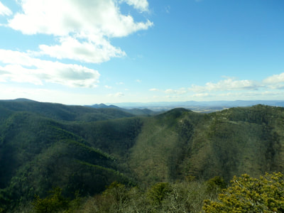
Saint Marys Wilderness, Augusta County
Saint Marys Trail Falls (Trail 1 & 2)
Length: 1.9 Miles (One Way)
Time: 1.5 Hours
Difficulty: Easy
Elevation Change: 300 Feet
Trailhead: Parking Area on FS 41
How to Get There
From 81S take exit 213A onto US-11S, Turn Left onto Dabney’s Rd, Turn Left onto SSR 608 (Cold Springs Rd), then turn Right onto St. Mary’s Rd, the Wilderness’s access rd. Trailhead parking is at the end of this road.
Trail Description
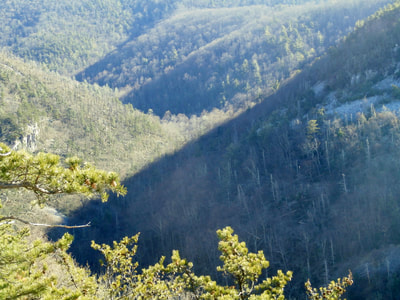
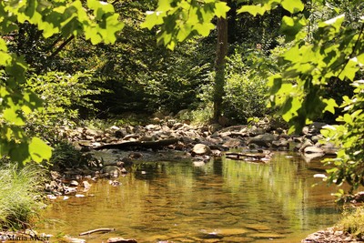
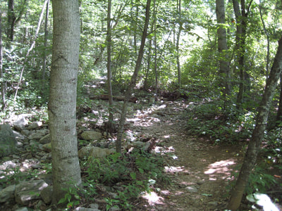
From the parking lot, the trail (1) begins with a Forest Service kiosk. You will then pass a small sign marking the wilderness boundary. The clear, rushing Saint Marys River is on the right. The forest is comprised Tulip poplar and oak. A small spring crosses the trail. In this area there are signs of old mining activity. The valley is a narrow, steep walled gorge with many rock rivers and small cliffs. A few campsites dot the trail edge.
If the water is up at the first creek crossing, the only way to cross is with bare feet. Once on the other side, the creek is on the left. The trail narrows and erosion is actively cutting the right creek bank. There is a sharp drop to the creek which must be forded. A short distance later, the creek is forded again. Beyond here, at an elevation of 1,900 feet and l.4 miles from the trailhead, there is a small clearing with many signs of man's activity. This is the junction with the Saint Marys Falls Trail.
At the junction of the Saint Marys Trail and the Saint Marys Falls Trail (2), hike toward the Saint Marys River. After 100 yards the river has to be forded. It is possible to cross the river without taking boots off when the stream is low, but when the creek is up expect to get wet.
Throughout this area there are many cliffs and rock towers. The trail is lined with Mountain laurel thickets. Small oak and some small American chestnut line the trail. The latter being the remnants of a tree that once dominated the forest canopy. The path goes through a very narrow gorge. Here, the remains of some old concrete pillars are visible. They were utilized when the region was extensively mined.
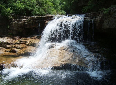
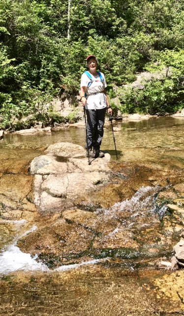
The creek must be forded again just before the falls. This ford may be possible without removing footwear, especially a little farther up the creek. The trail traverses a small bend to the right just prior to the falls. At the falls, there is a tall rock tower. For those who like to climb, this cliff is suitable for some top roping. Although there are several choice spots for camping, camping is not permitted in this area.
There are other campsites above the falls on the other side of the river. The trail continues on up the river for some distance. This is a continuation of the old railroad grade which followed the Saint Marys River.
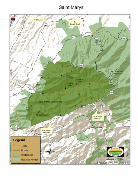
| Printable Map of St. Mary's Wilderness | |
| File Size: | 985 kb |
| File Type: | |

