North Creek
Approximate size: 5,833acres
Potential Old growth: Approximately 2,613 acres of possible old growth.
Location: Glenwood Ranger District
Potential Old growth: Approximately 2,613 acres of possible old growth.
Location: Glenwood Ranger District
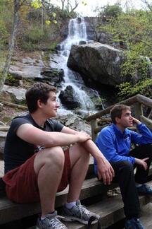
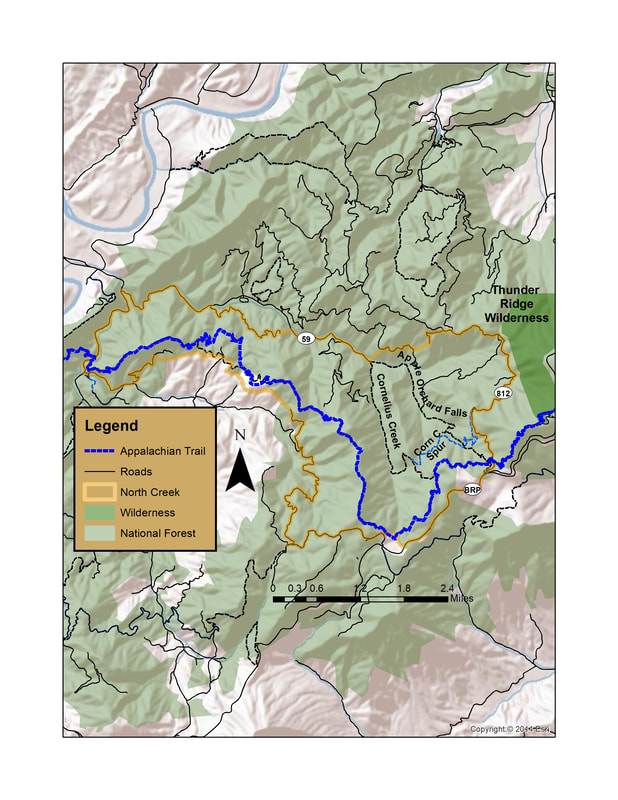
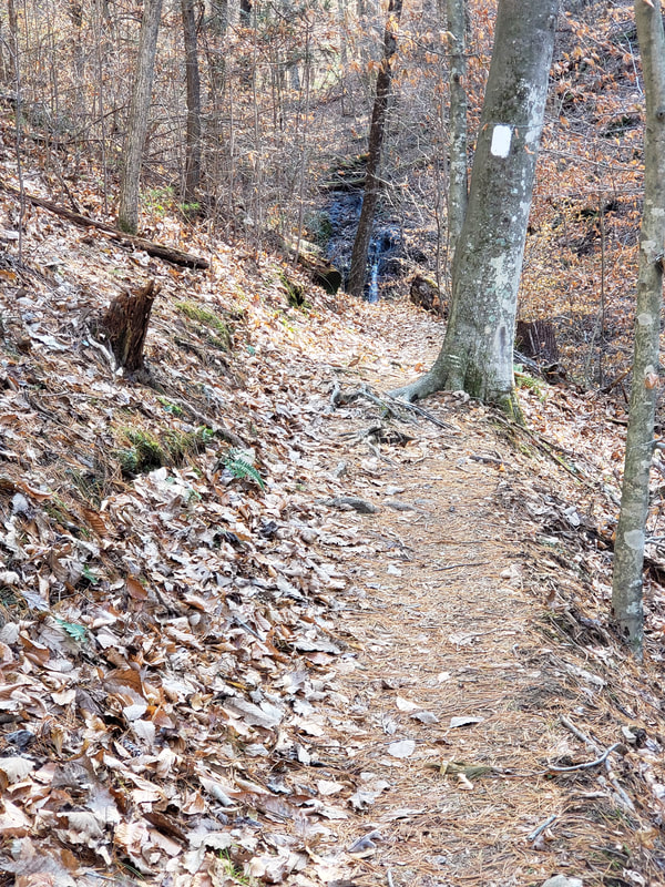
The North Creek is located on the western slope of the Blue Ridge Mountains in Botetourt County. This popular recreation area includes the North Creek Special Management Area. Apple Orchard Falls National Recreation Trail follows the North Creek past the Apple Orchard Falls with a drop of nearly 200 feet.
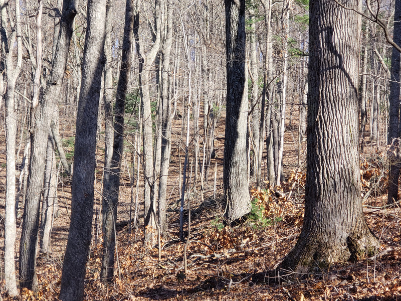
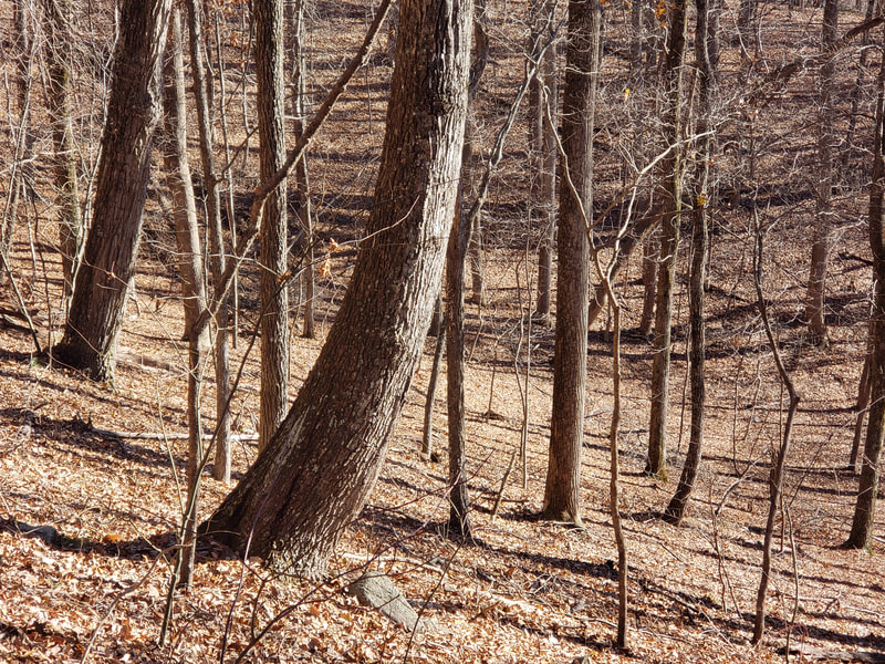
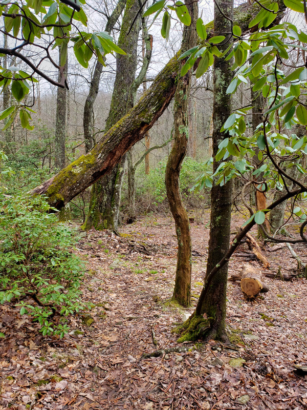
In the vicinity of the falls, there is a variety of towering hardwood species with massive trunks standing above a forest floor of flowering shrubs, ferns, and wildflowers. In early spring parts of the forest floor are covered in Trillium and Pink ladyslippers.
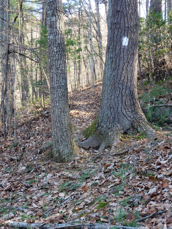
Most of North Creek is within the Apple Orchard Conservation Site. The rich older forest is habitat to the Peaks of Otter Salamander, a Virginia native species that is limited to the higher elevation within this large conservation site. Other rare species can also be found throughout the area. Cornelius Creek and North Creek are both recognized as cold water streams and are important Brook trout fisheries. Jennings Creek, located on the western boundary is also a designated cold-water stream. There is over 2,600 acres of possible old growth in the North Creek Virginia Mountain Treasure. A small grove of old growth Yellow birch is found on the high slope along the Appalachian Trail. In the deep valleys along Cornelius Creek and North Creek stands of Northen red oak, White oak, and Yellow poplar dominate the forest canopy. The Appalachian Trail along the crest of Floyd Mountain passes under tall White oak and Chestnut oak.
North Creek is a recreational paradise. The Appalachian Trail enters the western part of the area at Jennings Creek. It climbs nearly 2,250 feet over eleven miles along the crest of Bryant Ridge and Floyd Mountain before exiting the area near Sunset Fields on the Blue Ridge Parkway. From there, the AT continues its climb to the 4,225 foot summit of Apple Orchard Mountain, the highest point on the Glenwood District. The Apple Orchard Falls Trail and Cornelius Creek Trail both leave the parking lot at the end of FDR 59. The Apple Orchard Falls Trail follows North Creek almost to the Blue Ridge Parkway. The Cornelius Creek Trail follows Cornelius Creek to the Appalachian Trail. Both the Appalachian Trail and the Cornelius Creek Spur connect the two, creating a series of loop trails.
Access: Access to the White Oak Ridge/Terrapin Mountain area is gained form several locations.
County Road 614 in Botetourt County—This is the western end of the Appalachian Trail. 79°37'23.321"W 37°31'45.437"N
Sunset Fields between mileposts 78 and 79 on the Blue Ridge Parkway. This is the trailhead for the Apple Orchard Falls Trail and the Appalachian Trail. 79°31'25.878"W 37°30'27.967"N
AT at the end of FR 3034 79°32'22.68"W 37°31'14.982"N
The end of FR 59—this is the trailhead for the Apple Orchard Falls Trail and the Cornelius Creek Trail. 79°33'11.172"W 37°31'46.98"N

