
Mountain Lake Wilderness
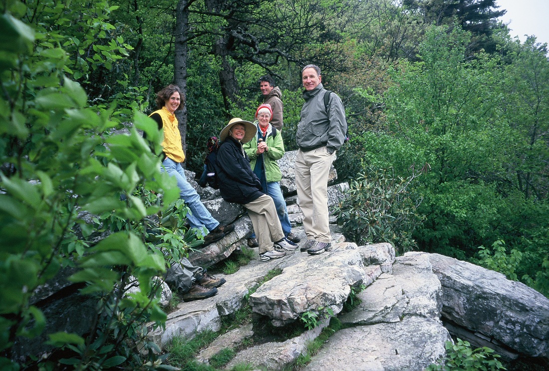 Overlook on War Spur
Mountain Lake Wilderness, established by Congress in 1984 with significant additions in 2009, is the largest wilderness on Virginia’s National Forest. Straddling the Virginia/West Virginia border, Mountain Lake encompasses 15,098 acres in Giles and Craig Counties, Virginia and Monroe County, West Virginia. The significant change in elevation from a low point of 1900 feet near Johns Creek at the foot of Piney Ridge, to over 4100 feet near the summit of Salt Pond Mountain offers a wide variety of ecosystems. On dry Piney Ridge is the oak/hickory/pine forest found on much of Virginia’s national forest, while on the summit of Salt Pond Mountain there are high elevation wetlands supporting Red Spruce, Yellow Birch and Northern Red Oak.
Mountain Lake has the unique distinction of sitting on the Eastern Continental Divide. Salt Pond Mountain and Potts Mountain form a part of this divide. War Spur Branch, Negro Branch, Saltpeter Branch, Bee Branch, and Eliber Springs Branch as well as other small tributaries that feed Johns Creek flow into the James River and on to the Chesapeake Bay. On the west side, White Rocks Branch enters Stoney Creek a tributary of the New River flows on to the Gulf of Mexico.
Mountain Lake has the unique distinction of sitting on the Eastern Continental Divide. Salt Pond Mountain and Potts Mountain form a part of this divide. War Spur Branch, Negro Branch, Saltpeter Branch, Bee Branch, and Eliber Springs Branch as well as other small tributaries that feed Johns Creek flow into the James River and on to the Chesapeake Bay. On the west side, White Rocks Branch enters Stoney Creek a tributary of the New River flows on to the Gulf of Mexico.
|
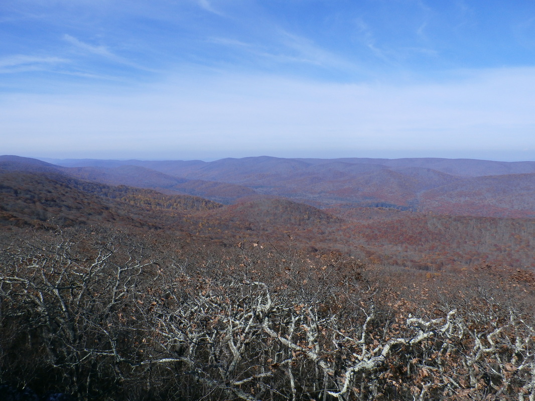
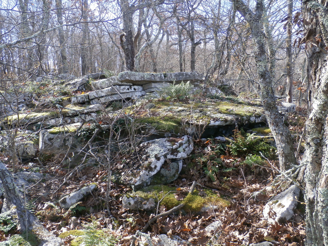
Mountain Lake Wilderness embraces a set of intersecting ridges that for an almost plateau-like highland. Potts Mountain is the backbone of the Wilderness. A hike along the crest on the Potts Mountain Trail provides outstanding views west over Stony and Potts Creek to Peters Mountain and the Peters Mountain Wilderness and east from White Rocks to the Johns Creek Valley. Wind Rock on the Appalachian Trail is a popular destination. On Salt Pond Mountain, whose 4,300 foot summit lies just outside the wilderness boundary, there are two outcrops. The War Spur and the lesser known Bear Cliffs overlook Potts Mountain and the Johns Creek valley, respectively. Piney Ridge forms the northeast boundary of the wilderness. Its steep side slopes provide refuge to Virginia Pine and Pitch Pine. Over in West Virginia, Kire Mountain is an outlier on Little Mountain.
|
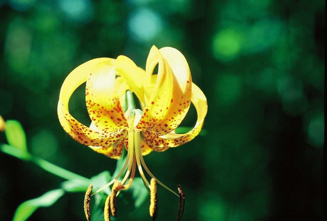
Turks Cap Lily
|

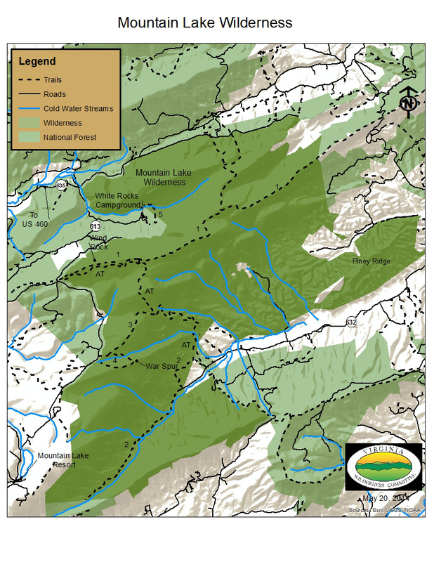
Click on map for larger view
|
There are many hiking opportunities in the Mountain Lake Wilderness including some loop trails.
AT, 4.6 miles (one way) 1) Potts Mountain Trail, 5.1 miles (one way) 2) Sartain Trail, 5.0 miles (one way) 3) War Spur Connector Trail, 1.2 miles (one way) 4) War Spur Loop, 1.8 miles (loop) 5) Virginia’s Walk Trail 1.3 miles (loop) This trail crosses the Virginia/West Virginia state line. Mountain Lake Wilderness trails are maintained through the hard work and dedication of volunteers with the Roanoke Appalachian Trail Club (RATC) and the Southern Appalachian Wilderness Stewards (SAWS). If you would like to get involved with trail maintenance in Mountain Lake Wilderness, contact the Roanoke Appalachian Trail Club. |
| Printable map of Mountain Lake Wilderness |