Dickey Knob Trail
Raccoon Branch Wilderness, Smyth County
Distance: 5.5 mile out and back
Elevation gain: 951 feet
Location: Jefferson National Forest
How to get there:
From I-81: Take Marion exit 45 onto Virginia State Route 16 South. Follow SR 16 South for approximately 13 miles to the Raccoon Branch campground on the right. If the campground parking is unavailable, park across Rt. 16, about 50 yards south of the campground entrance.
Trail description:
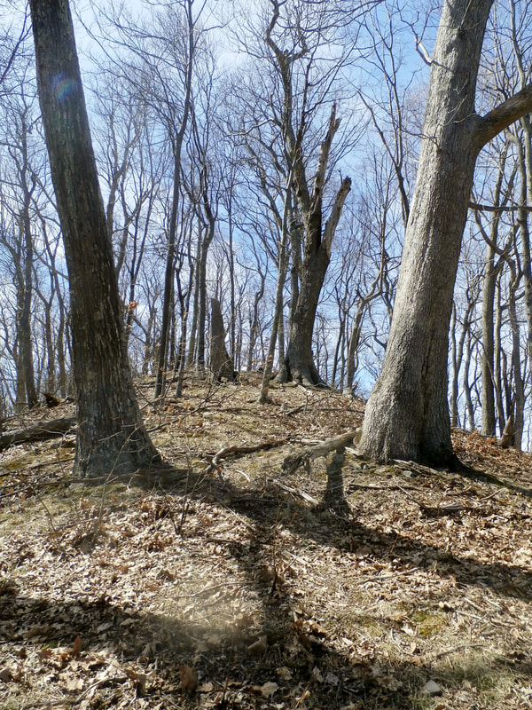
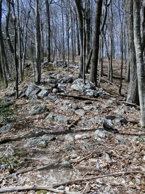
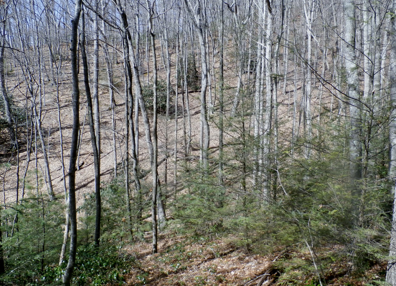
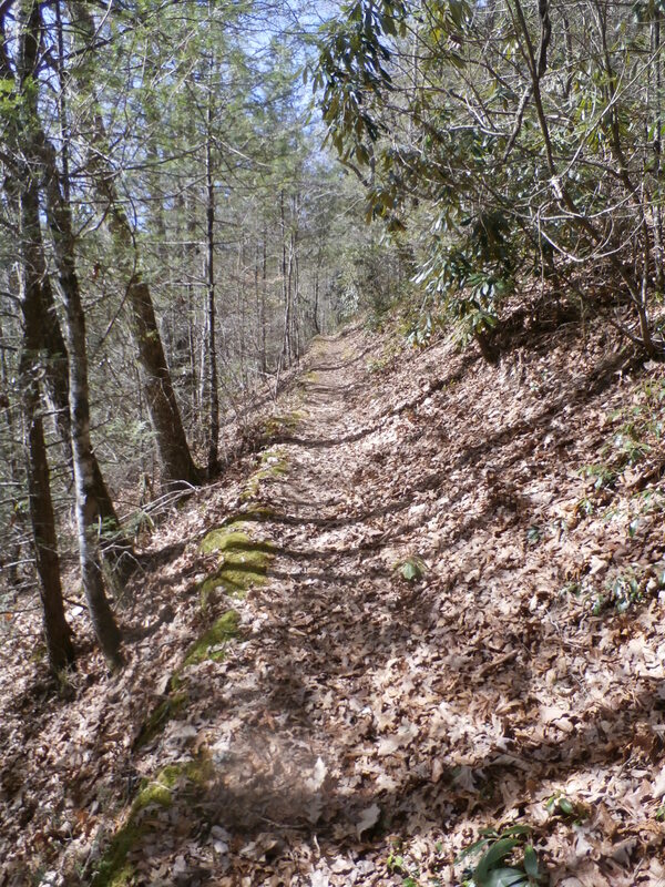
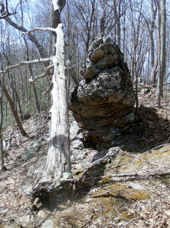
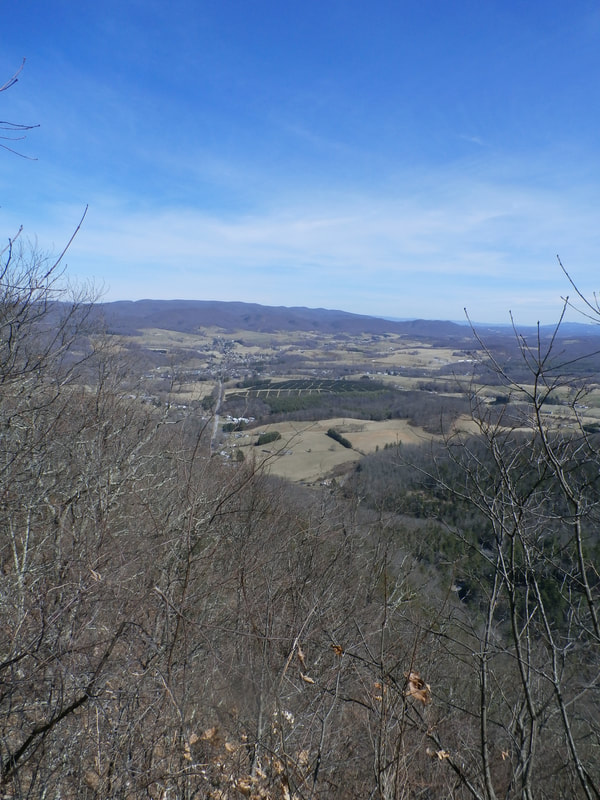
Trail head is by site 6 in the campground. The trail leads to the top of Dickey Knob, once the location of a forest fire tower, and today offering spectacular views of Sugar Grove and Rye Valley.
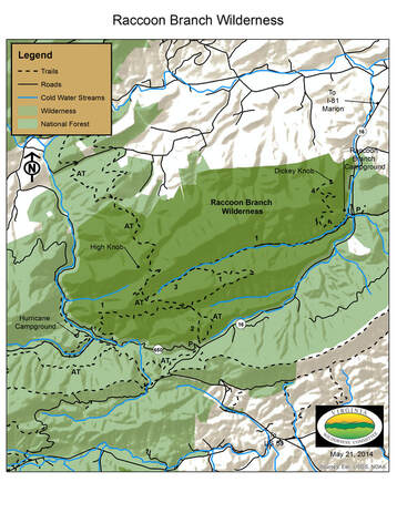
The map of the Raccoon Branch Wilderness has a list of numbered trails.
They are as follows:
AT) Appalachian Trail, 3.9 miles (one way)
1) Virginia Highlands Horse Trail, 4.3 miles (one way)
2) Hickory Ridge Trail, 0.7 miles (one way)
3) Bobbys Trail, 1.0 miles (one way)
4) Dickey Knob Trail, 2.6 miles (one way)

