Cove Mountain
Approximate size: 4,490 acres
Potential Old-growth: Nearly 775 acres of possible old growth can be found throughout the area.
Location: Glenwood Ranger District
Map: National Geographic Trails Illustrated Lexington/Blue Ridge
Potential Old-growth: Nearly 775 acres of possible old growth can be found throughout the area.
Location: Glenwood Ranger District
Map: National Geographic Trails Illustrated Lexington/Blue Ridge
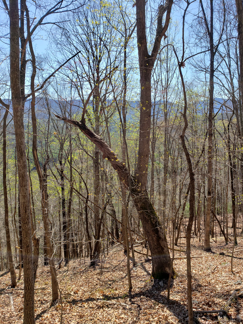
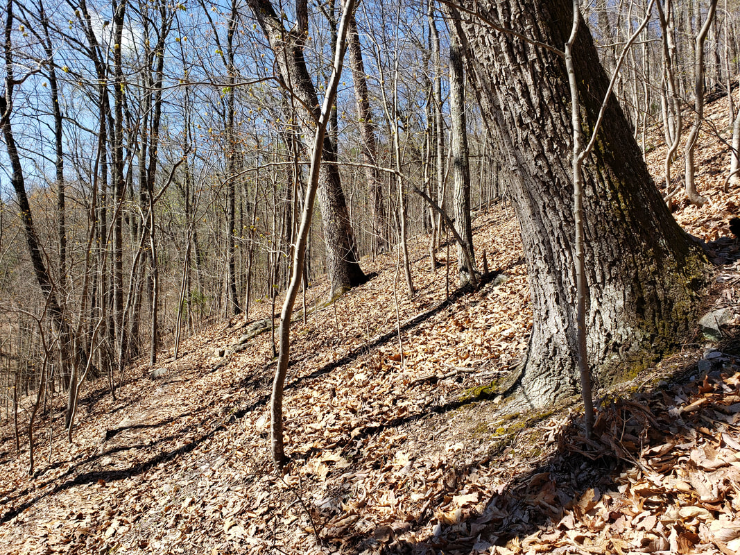
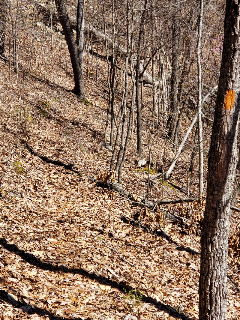
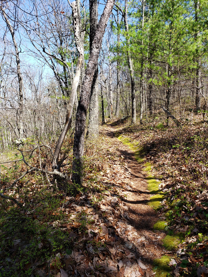
The Cove Mountain Virginia Mountain Treasure is located on the western slope of the Blue Ridge Mountains in Botetourt County. The most notable feature of the area is its extensive loop trail network.
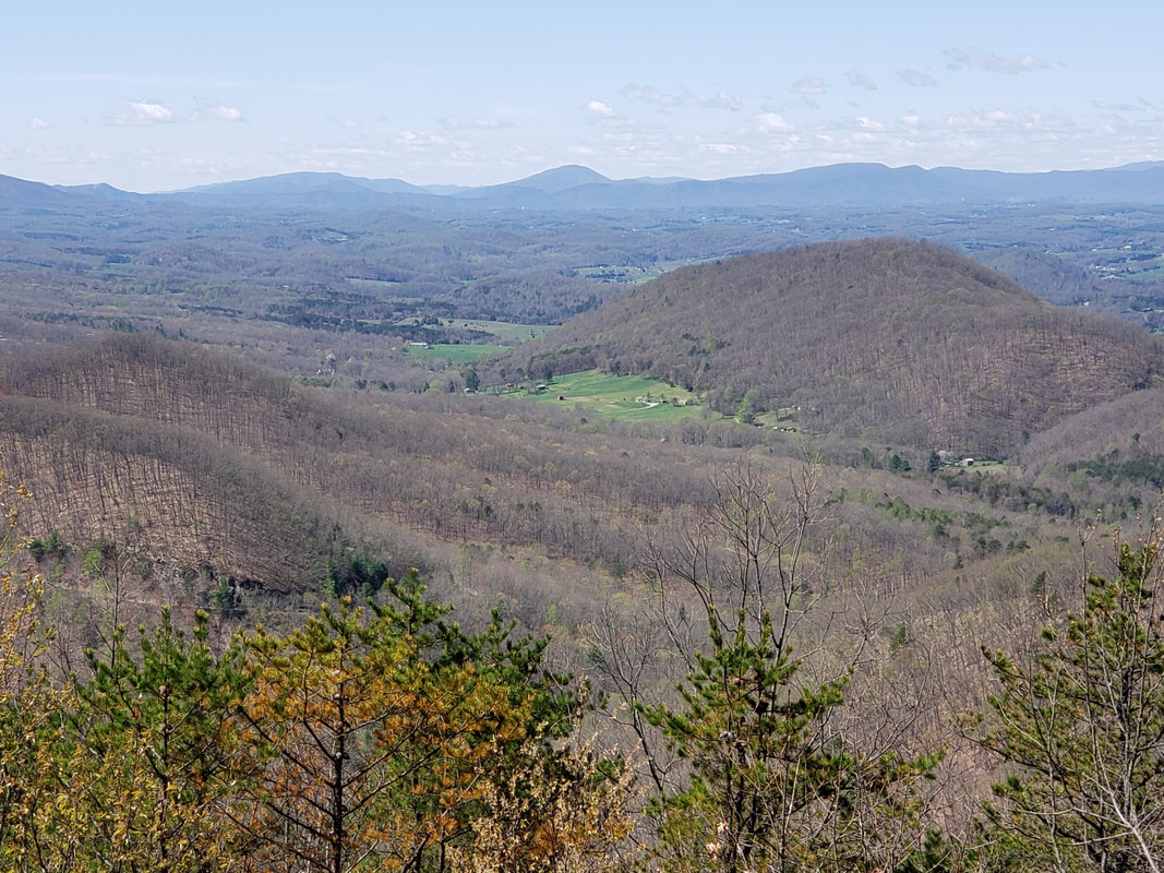
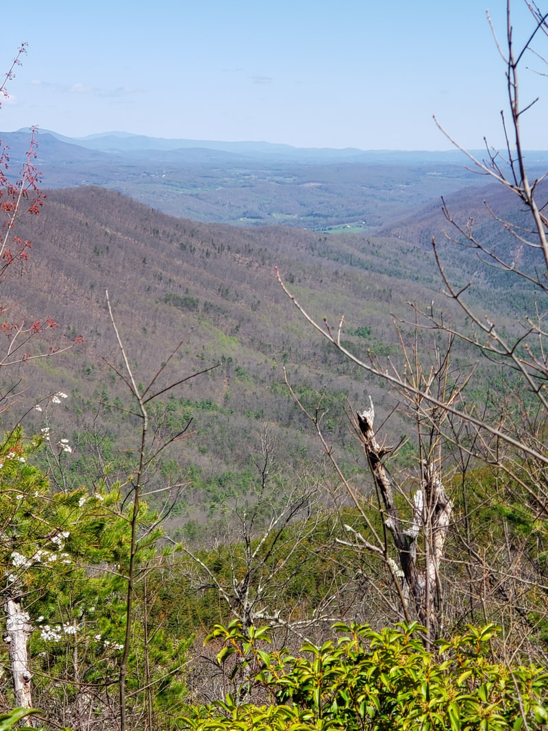
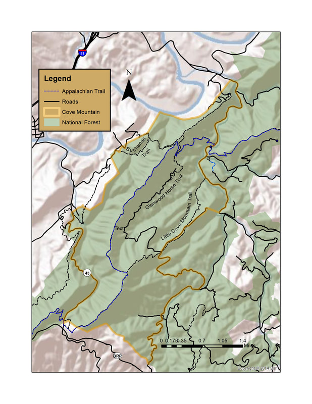
Cove Mountain looks out over the James River and the Town of Buchanan. Little Cove Mountain is separated from Cove Mountain by Cove Creek. Yellowstone Branch, in turn, divides Little Cove Mountain from McFalls Ridge. McCogles Branch drains the far southeastern corner of Cove Mountain. All these streams are major tributaries of Jennings Creek which in turn flows into the James River. Bearwallow Creek is the only large stream on the western slope of Cove Mountain. Its waters flow directly into the James River. McFalls Creek is on the eastern boundary and is a designated cold-water stream.
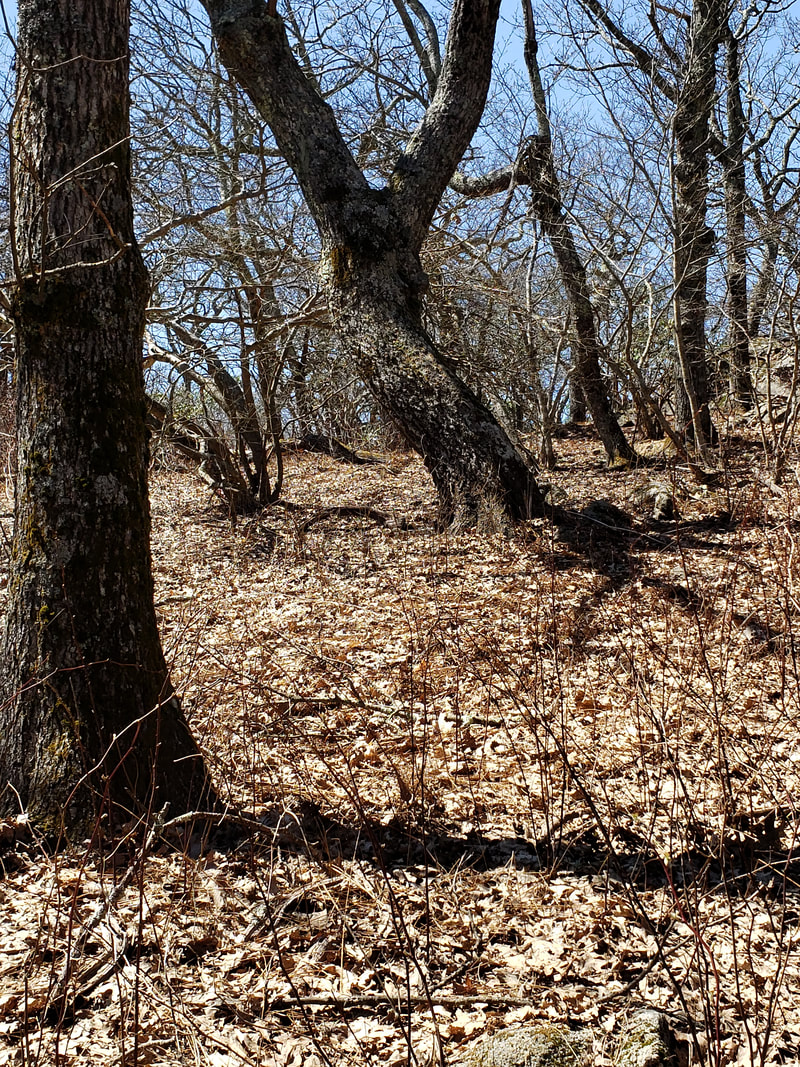
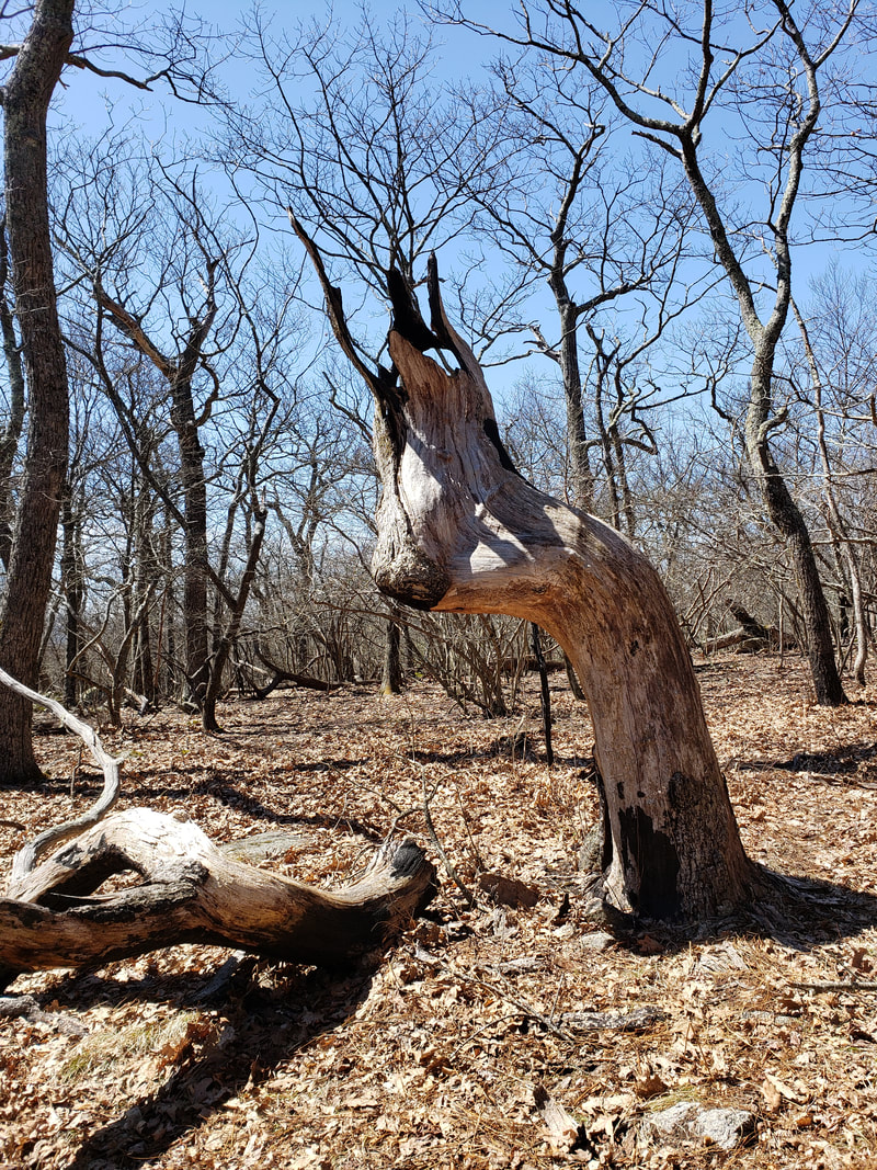
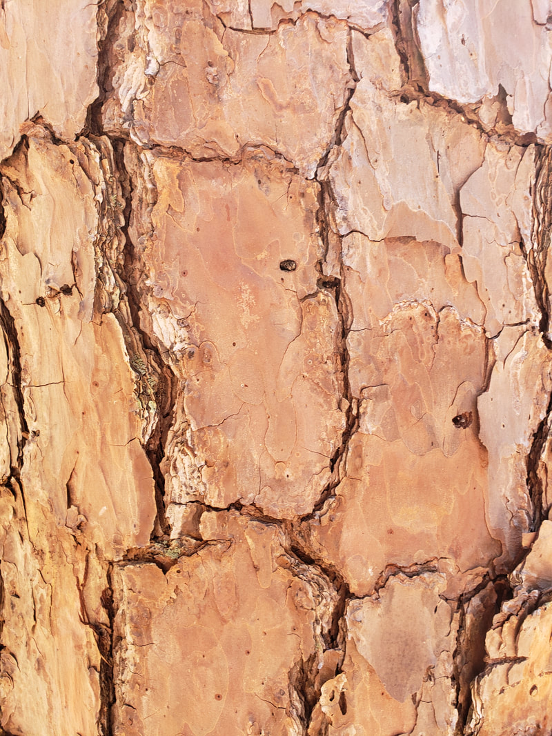
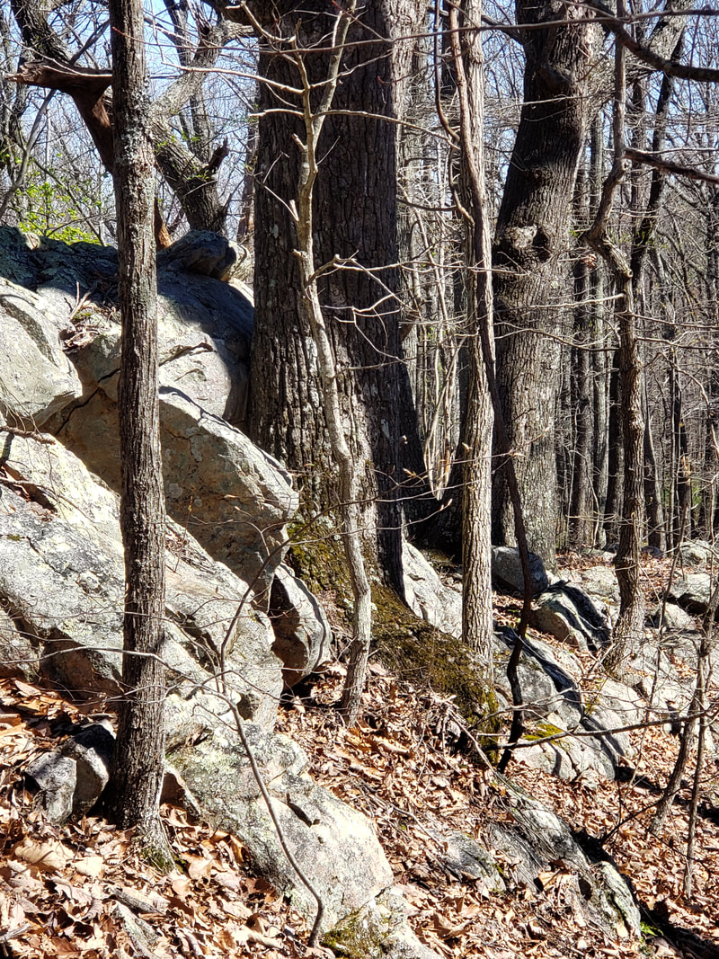
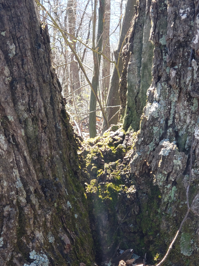
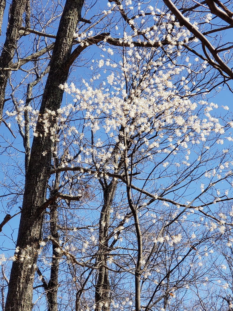
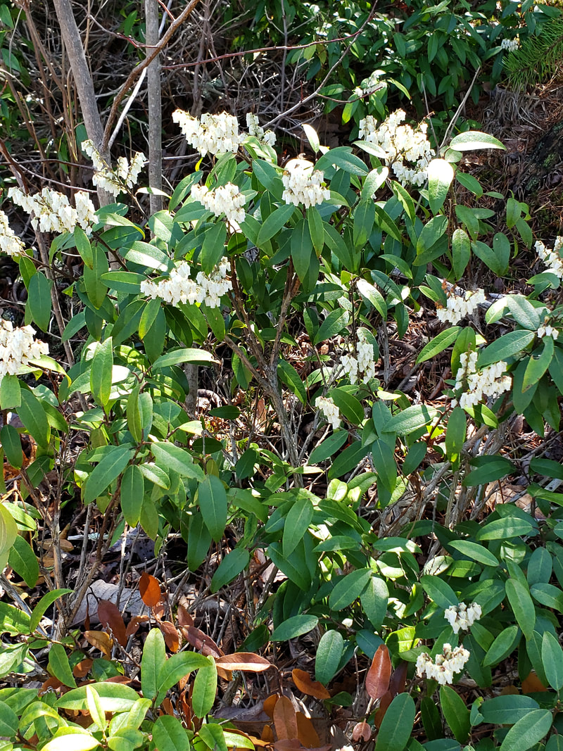
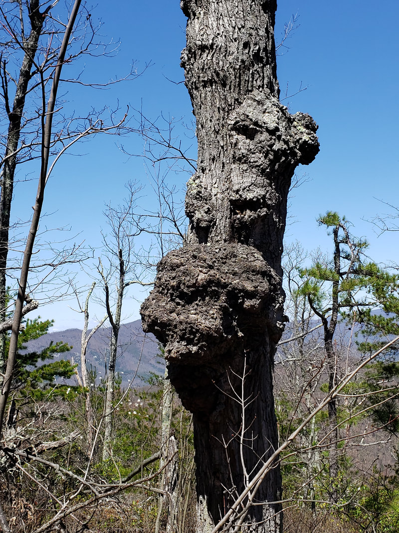
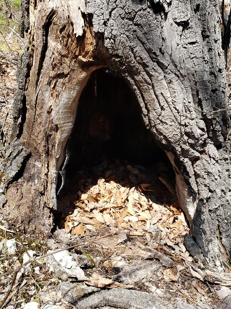
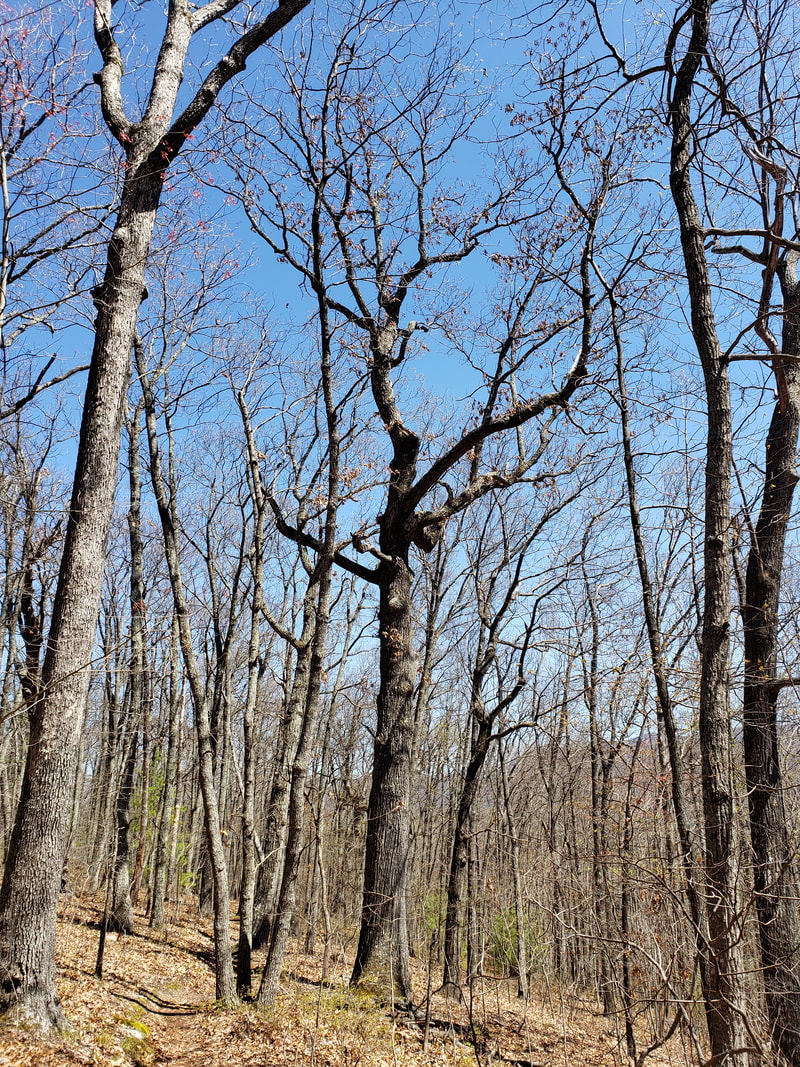
Cove Mountain contains nearly 775 acres of possible old growth including two possible stands of White pine along McFalls Creek. Along the rocky summit of Cove Mountain is a forest of old White oak, Northern red oak, and Chestnut oak. Some may date back to 1850s. There is one recognized conservation site within the boundary of Cove Mountain.
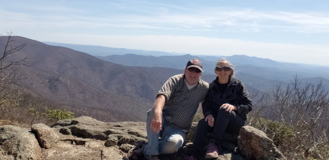
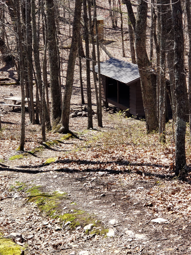
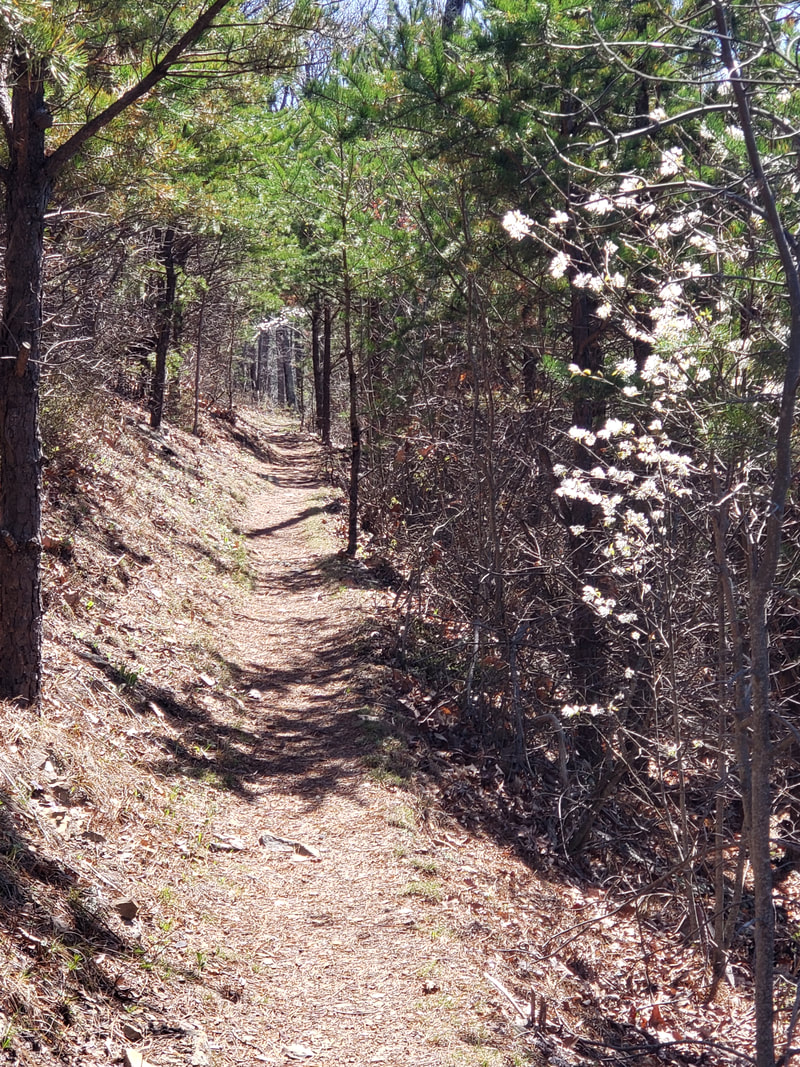
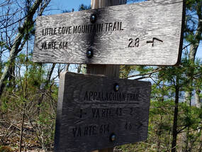
Recreation is another hallmark of Cove Mountain. The area is popular with equestrians, mountain bikers, and hikers. More than six miles of the Appa-lachian Trail (AT) run through the middle of the area. The Glenwood Horse Trail (GHT) winds its way through the area as well. The GHT enters Cove Mountain on the east, then passes just below the AT on the western slope of Cove Mountain. After crossing the AT, the GHT climbs to the crest of Cove Mountain. It then follows the western slope of the mountain almost all the way to Buchanan. Another trail of note is the 2.8-mile Little Cove Mountain Trail. This trail exits the AT on the crest of Cove Mountain and begins a long descent to Jennings Creek.
Cove Mountain looks out over the James River and the Town of Buchanan. Little Cove Mountain is separated from Cove Mountain by Cove Creek. Yellowstone Branch, in turn, divides Little Cove Mountain from McFalls Ridge. McCogles Branch drains the far southeastern corner of Cove Mountain. All these streams are major tributaries of Jennings Creek which in turn flows into the James River. Bearwallow Creek is the only large stream on the western slope of Cove Mountain. Its waters flow directly into the James River. McFalls Creek is on the eastern boundary and is a designated cold-water stream.
Cove Mountain contains nearly 775 acres of possible old growth including two possible stands of White pine along McFalls Creek. Along the rocky summit of Cove Mountain is a forest of old White oak, Northern red oak, and Chestnut oak. Some may date back to 1850s. There is one recognized conservation site within the boundary of Cove Mountain.
Recreation is another hallmark of Cove Mountain. The area is popular with equestrians, mountain bikers, and hikers. More than six miles of the Appa-lachian Trail (AT) run through the middle of the area. The Glenwood Horse Trail (GHT) winds its way through the area as well. The GHT enters Cove Mountain on the east, then passes just below the AT on the western slope of Cove Mountain. After crossing the AT, the GHT climbs to the crest of Cove Mountain. It then follows the western slope of the mountain almost all the way to Buchanan. Another trail of note is the 2.8-mile Little Cove Mountain Trail. This trail exits the AT on the crest of Cove Mountain and begins a long descent to Jennings Creek.
Access: Access to Cove Mountain Virginia Mountain Treasure is possible from several locations.
The AT can be accessed at two locations.
The southern end of the AT exits SR 43 just before the Blue Ridge Parkway. 79°40'6.272"W 37°29'7.858"N
The northern end of the AT is on CR 614. 79°37'23.415"W 37°31'45.22"N
The Glenwood Horse Trail can be accessed from two locations.
The Horse Trail parking is located just off of CR 625. 79°40'10.386"W 37°30'38.178"N
The eastern end is located on CR 63. 79°38'16.927"W 37°30'10.605"N
The Little Cove Mountain Trail is located on CR 614. 79°37'28.905"W 37°31'17.184"N